3,418 ads for Antiques in Ireland

Sorry, this ad is no longer available
View similar ads below
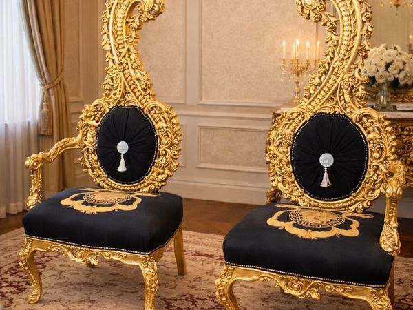
- Spotlight10Private Seller4.7
Terence clifford antiques
- 8 days
- North County, Dublin
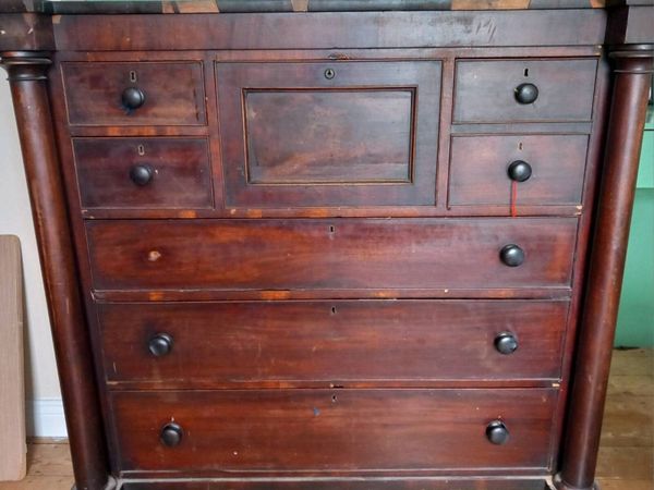
- Spotlight2Private SellerNo rating
Chest of Drawers
- 16 days
- Gowran, Kilkenny
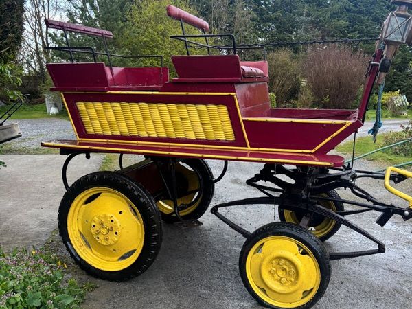
- Spotlight8Private SellerNo rating
Antique Horse Carriage
- 4 days
- Thurles, Tipperary
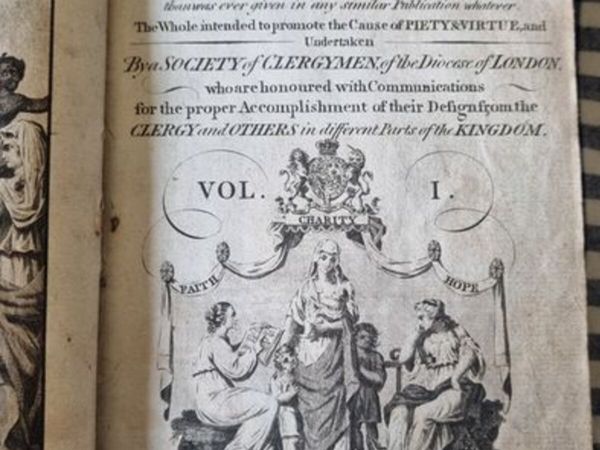
- 10Private Seller4.8
Two old books - Christian's Magazine 1782
- 27 mins
- Ballybofey, Donegal
- 10Private Seller5
Amazing Violins 100% GUARANTEE
- 30 mins
- Ennistymon, Clare
- 4Private Seller4.8
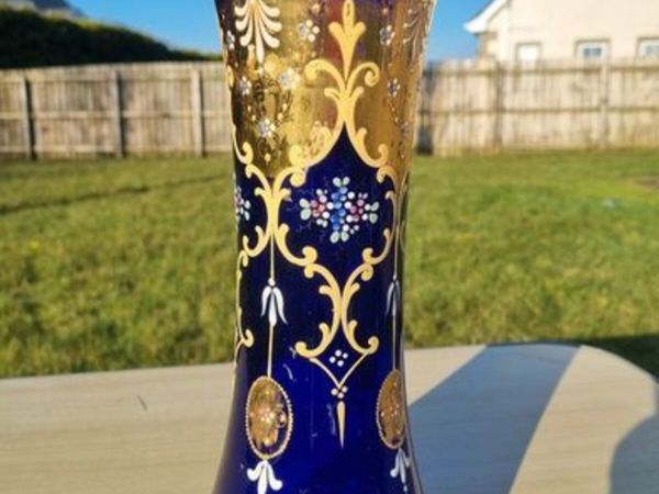
Large Bohemian glass vase in Art Nouveau style
- 31 mins
- Ballybofey, Donegal
- 7Private Seller4.8
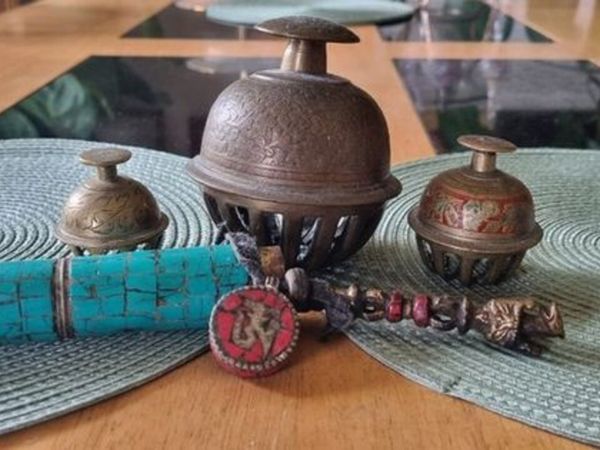
Vintage Tibetan Bells with Amulet
- 50 mins
- Ballybofey, Donegal
- 6Private Seller4.8
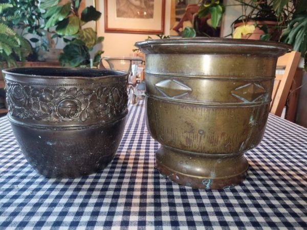
Two vintage brass flower pots
- 53 mins
- Ballybofey, Donegal
- 10Private Seller5
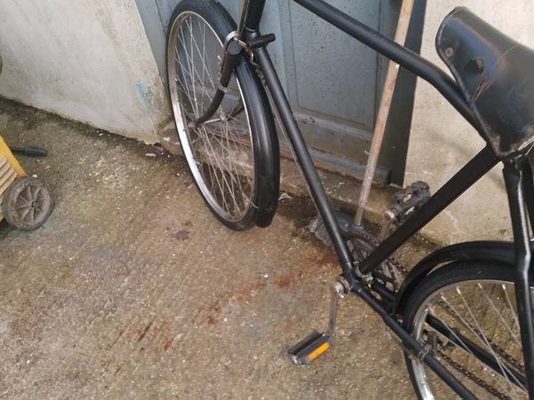
2 postman's bicycles
- 1 hour
- Wexford Town, Wexford
- 8Private Seller4.8
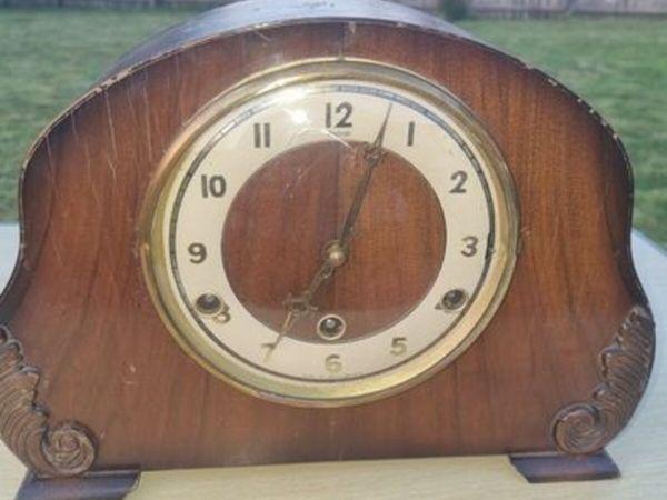
Vintage Mantel Clock - Andrew
- 1 hour
- Ballybofey, Donegal
- 3Private Seller4.7
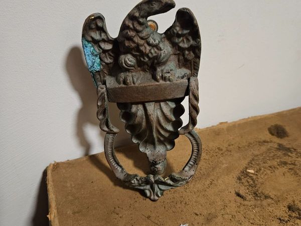
Vintage Cast Door Knocker
- 1 hour
- Wicklow Town, Wicklow
- 3Private Seller5
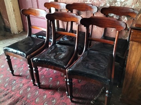
Set of 6 Victorian mahogany Dining Chairs
- 1 hour
- Dublin
- 10Private Seller4.8
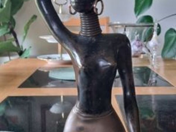
Karl Hagenauer brass statuette
- 1 hour
- Ballybofey, Donegal
- 5Private Seller4.8
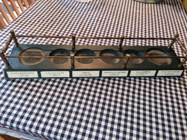
Classic Malts Whisky Display Stand
- 1 hour
- Ballybofey, Donegal
- 6Trader4.5
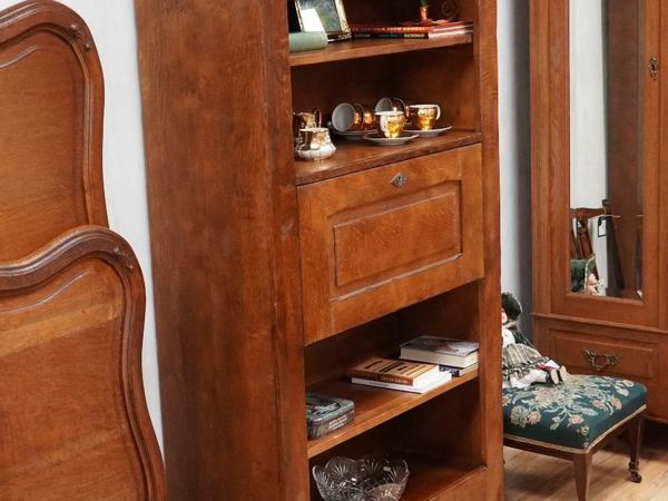
Rustic Solid Oak Bookcase Bureau
- 1 hour
- Abbeyfeale, Limerick
- 1Private SellerNo rating
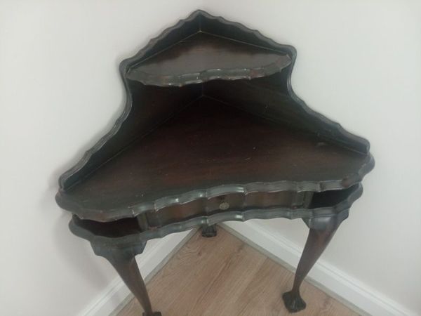
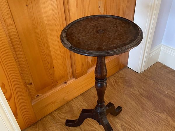
Corner table
- 1 hour
- Kildare
- 4Private Seller2.3
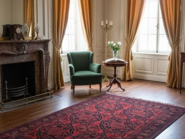
Persian rugs (selection)
- 2 hours
- Ballymount, Dublin
- 3Private Seller4.8
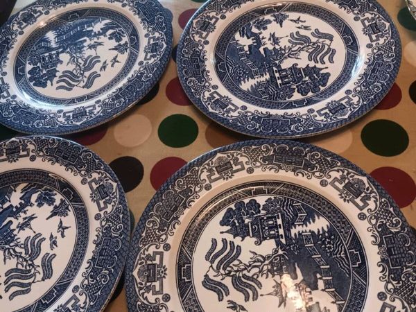
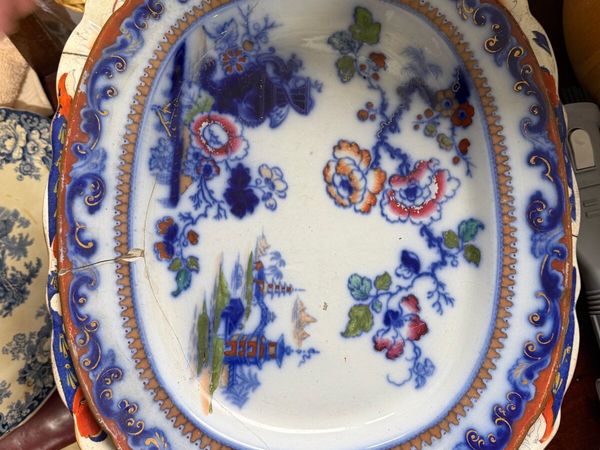
Willow plates
- 2 hours
- Meath
- 3Private SellerNo rating
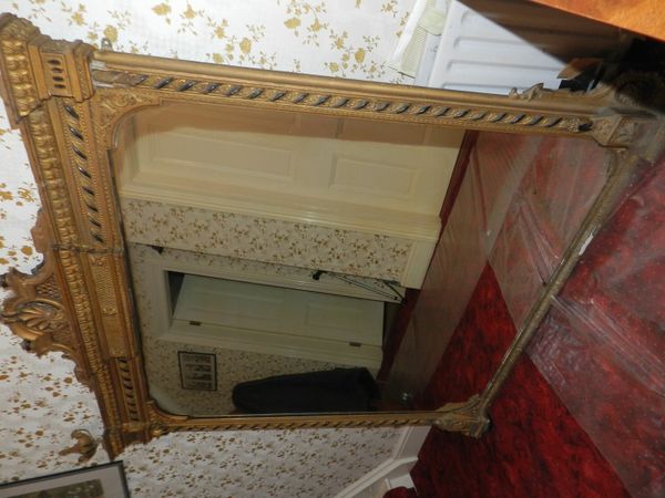
Victorian Mirror
- 2 hours
- North City, Dublin
- 8Private Seller4.8
Large brass lamp
- 2 hours
- Ballybofey, Donegal
- 5Private Seller4.4
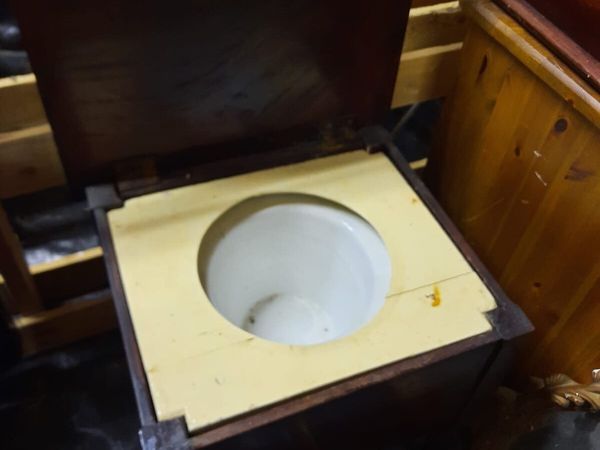
Antique commode
- 2 hours
- Prosperous, Kildare
- 9Trader4.5
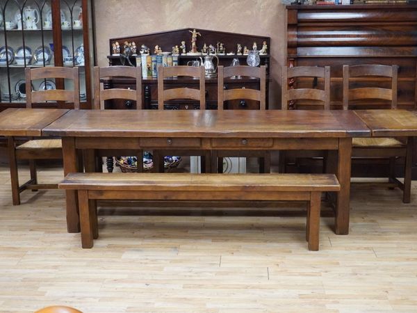
Solid Oak Rustic Dining Set
- 2 hours
- Abbeyfeale, Limerick
- 10Private Seller4
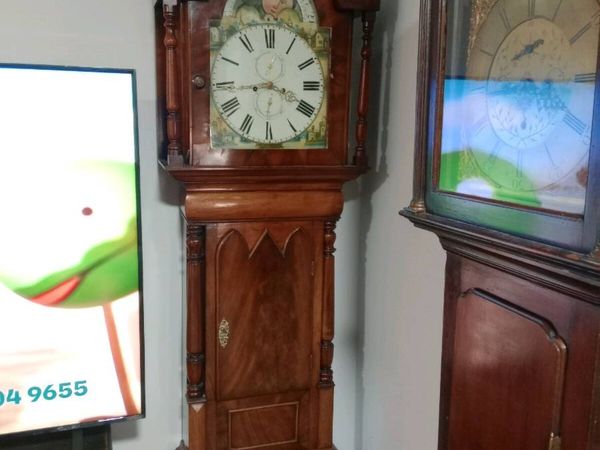
Quality 17th/18th century 8 day Grandfather clocks
- 3 hours
- Tullow, Carlow
- 10Private Seller4.5
Antiques
- 3 hours
- PortLaoise, Laois
- 10Private Seller4.5
Antiques
- 3 hours
- PortLaoise, Laois
- 10Private Seller4.5
Antiques
- 3 hours
- PortLaoise, Laois
- 5Private Seller4.4
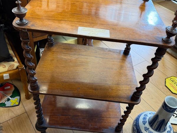
vintage c20th side table, plant stand, wine table
- 3 hours
- Rosslare, Wexford
- 8Private Seller5
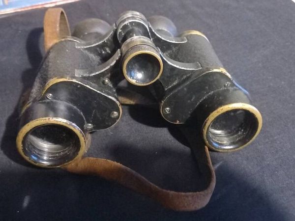
Vintage World War ll Carl Zeiss German Binoculars
- 3 hours
- Cobh, Cork
- 7Trader4.5
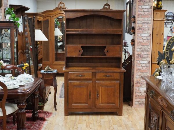
Rustic Solid Oak Kitchen Dresser
- 4 hours
- Abbeyfeale, Limerick
- 3Private Seller4
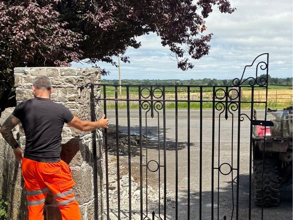
Old Wrought iron entrance gates 12ft wide
- 4 hours
- Thurles, Tipperary
- 10Private SellerNo rating
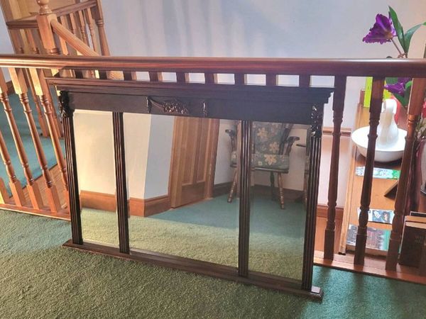
Antique Overmantel Mirror – Solid Mahogany, Large
- 4 hours
- Ennistymon, Clare
- 1Private SellerNo rating
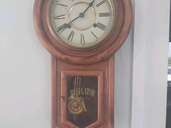
Regulator Wall Clock
- 4 hours
- Oldcastle, Meath
- 5Private Seller4.4
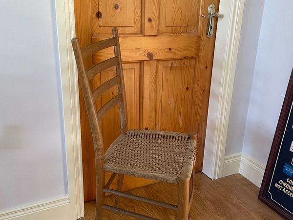
Vintage ladder-back chair. Rope seat
- 5 hours
- Rosslare, Wexford


Showing 1 - 30 of 3,418