

1 / 3
Cavan Westmeath Meath Antique Colour Map 1850
- 28 days
- Waterford City, Co. Waterford
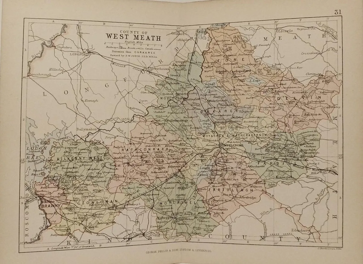
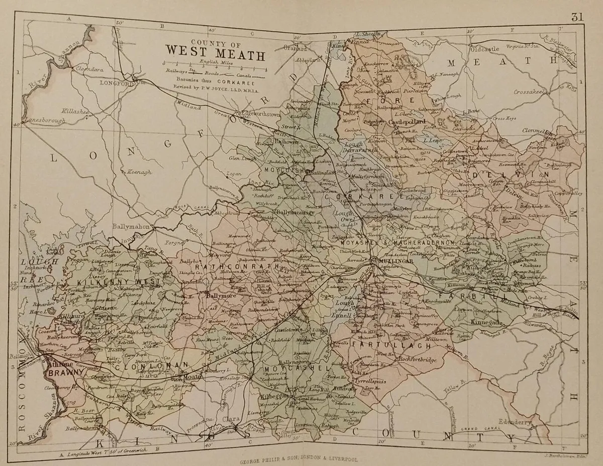

Antique colour map of the County of Westmeath, printed in 1881. The map has been printed on paper and was released as a fold out map. It was printed in 1881 by George Philips in London with the map constructed by John Bartholomew and edited by P. W. Joyce. Condition wise the map is in very good condition for it’s age, it is a fold out map so fold lines are present, split at fold to map one side, paper will have age related toning , please see pictures. The map is 8 by 6 inches. Delivery €7, free delivery on orders over €74. View more maps at anticogallery.com
Some information displayed may be provided by third parties or identified using AI, and may not be fully accurate, complete, or up to date.

Email, Phone, Payment card
Excellent
Reviews
8 years
on DoneDeal
4.9/5
14 ReviewsFind out how we are keeping you safe.
Learn moreYou may also like
Cavan Westmeath Meath Antique Colour Map 1850


Clonmacnoise County Offaly Set of 3 Antique Prints

Antique Map New South Wales 1890’s


Legal
DoneDeal.ie is not responsible for the advertised goods. It is illegal to use the contact information for commercial purposes.
Email, Phone, Payment card
Excellent
Reviews
8 years
on DoneDeal
Tips and guides