3,475 ads for Antiques in Ireland

Sorry, this ad is no longer available
View similar ads below
- Spotlight8Private Seller4.8
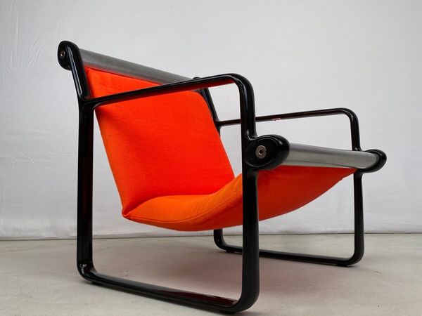
Extremely Rare Mid Century Knoll Sling Chair
- 4 days
- Louth
- Spotlight9Private Seller4.9
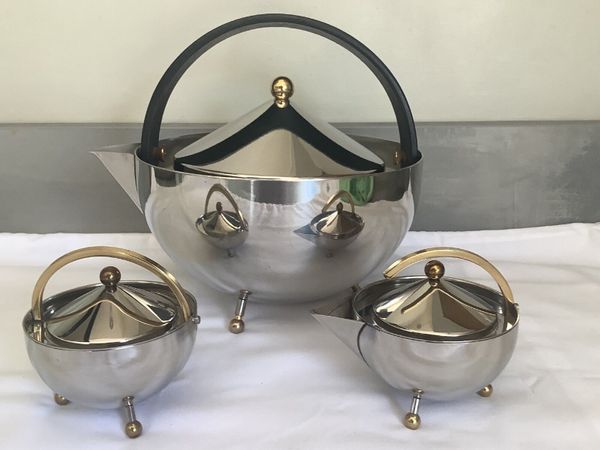
Bodum Teaball Teapot by Carsten Joergensen 1980s
- 4 days
- Doon, Limerick
- Spotlight4Private SellerNo rating
Brass Fender & Companion Set
- 14 hours
- Leighlinbridge, Carlow
- 9Private Seller5
Arts and Commerce Promoted Picture
- 3 mins
- Strokestown, Roscommon
- 10Private Seller4.3
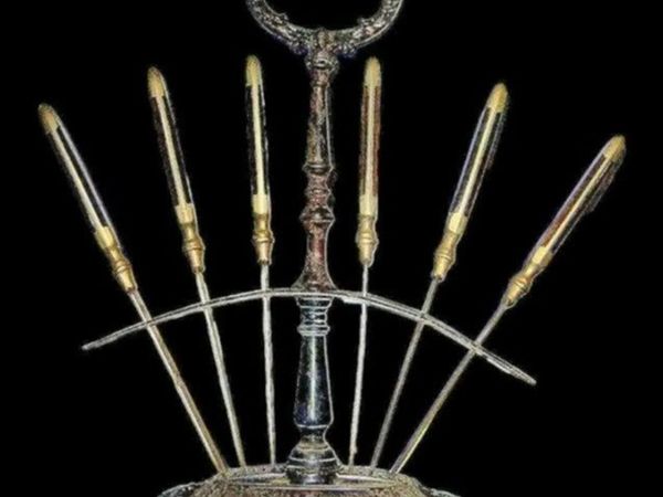
Vintage Set 6 Fruit/Cheese Cutters With Stand
- 12 mins
- Killeigh, Offaly
- 10Private Seller4.3
Large Vintage Wooden Catering Sign
- 48 mins
- Killeigh, Offaly
- 4Private Seller1
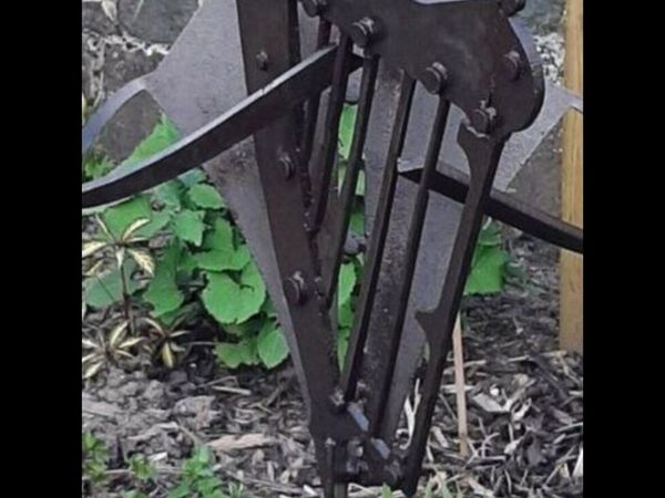
Unique Garden sculpture
- 1 hour
- Arklow, Wicklow
- 3Private Seller3.9
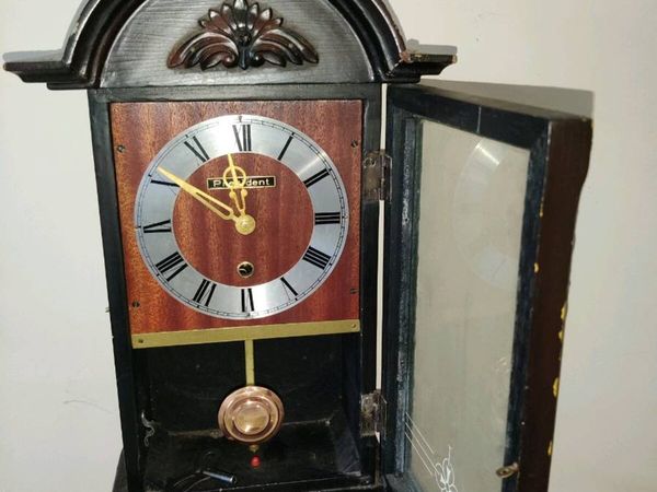
EDWARDIAN WALL CLOCK , Working Perfect With Key !
- 5 hours
- Tallaght, Dublin
- 8Private Seller3.8
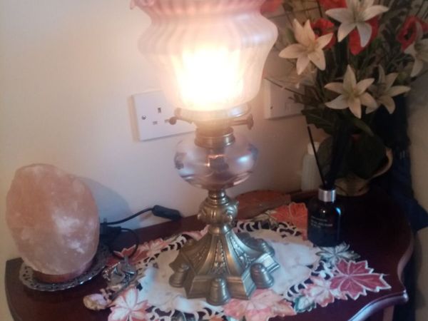
Victorian Oil Lamp
- 5 hours
- Carlow Town, Carlow
- 6Trader5
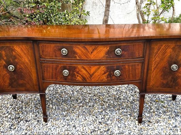
Large Vintage Mahogany Sideboard
- 8 hours
- Limerick City, Limerick
- 10Private Seller4.8
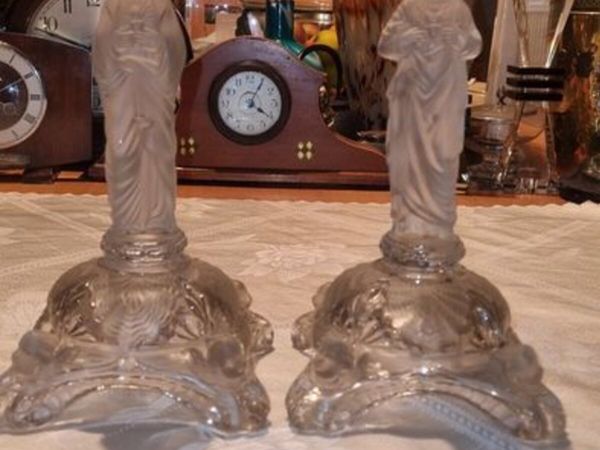
Portieux vallerysthal religious figures
- 8 hours
- Ballybofey, Donegal
- 10Private SellerNo rating
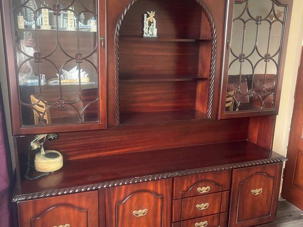
Mahogany cabinet
- 9 hours
- Limerick City, Limerick
- 10Private Seller4.8
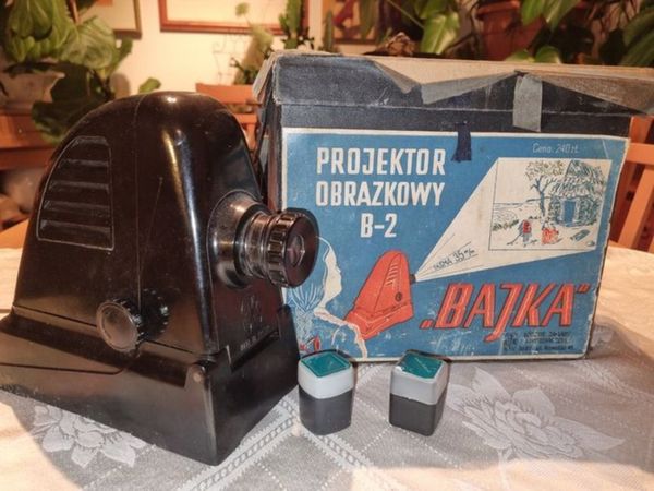
Vintage Polish Picture Projector
- 9 hours
- Ballybofey, Donegal
- 6Private SellerNo rating
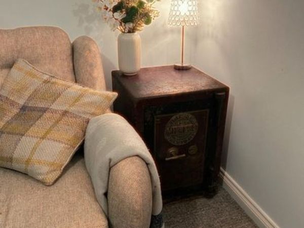
Milners Patent Fire Resisting Special Safe
- 9 hours
- Castlebar, Mayo
- 2Private Seller3.5
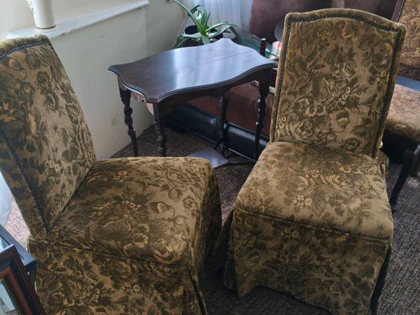
2 beautiful antique effect chairs 50 for 2
- 9 hours
- Ballincollig, Cork
- 1Private SellerNo rating
Singer Sewing Machine
- 9 hours
- Kinsale, Cork
- 6Private SellerNo rating
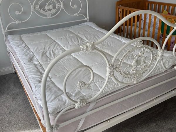
Antique cast iron bed
- 9 hours
- Tinryland, Carlow
- 8Private Seller5
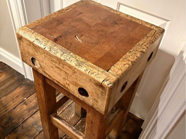
Antique butchers block and stand
- 9 hours
- Downpatrick, Down
- 1Private Seller4.7
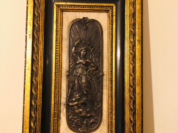
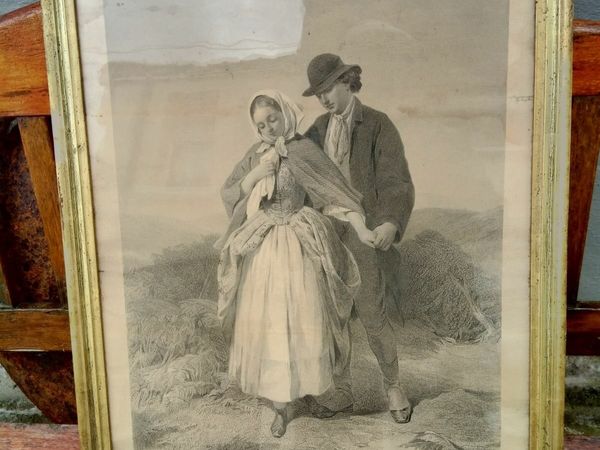
Antique engraved picture "The Proposal"
- 10 hours
- Mallow, Cork
- 6Private Seller5
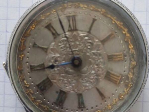
Silver pocket watch hallmarked 800 silver
- 10 hours
- Portarlington, Laois
- 3Private SellerNo rating
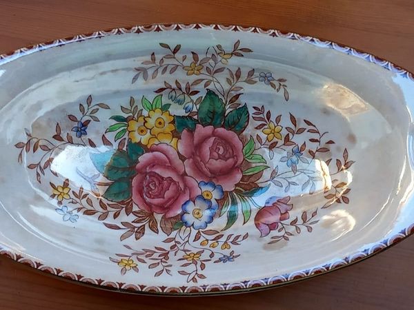
Vintage Maling 'Rosalind' Cream Lustre Oval Dish
- 10 hours
- Firhouse, Dublin
- 5Private Seller5
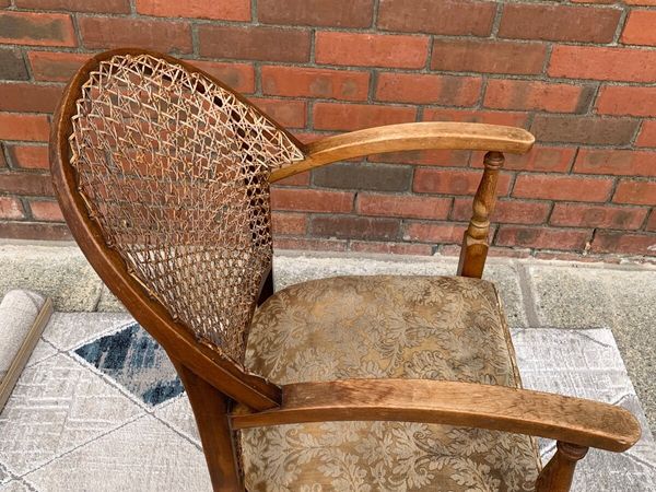
Chair antique bedroom/bathroom chair
- 11 hours
- Newtown Cunningham, Donegal
- 1Private Seller5
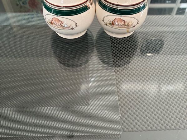
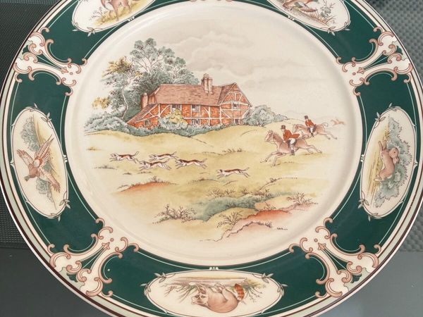
Arklow Keltcraft by Noritake
- 11 hours
- Celbridge, Kildare
- 10Private Seller3.8
Antiques
- 11 hours
- Leitrim
- 2Private Seller5
Arklow Keltcraft by Noritake ‘Pursuit’
- 11 hours
- Celbridge, Kildare
- 2Private SellerNo rating
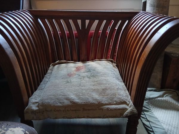
Vintage Chair
- 11 hours
- Harold's Cross, Dublin
- 7Private Seller4.8
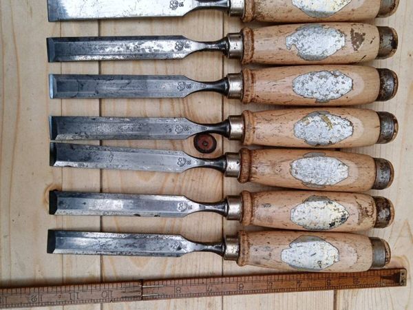
18mm chisels
- 11 hours
- Kells, Meath
- 1Private Seller5
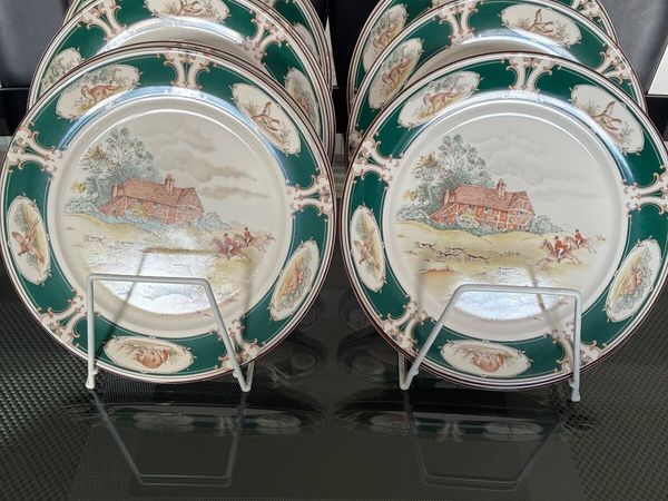
Arklow Keltcraft By Noritake
- 11 hours
- Celbridge, Kildare
- 2Private Seller5
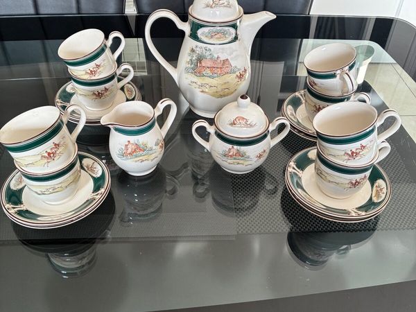
Arklow Keltcraft by Noritake “Pursuit’ Tea Set
- 11 hours
- Celbridge, Kildare
- 3Private SellerNo rating
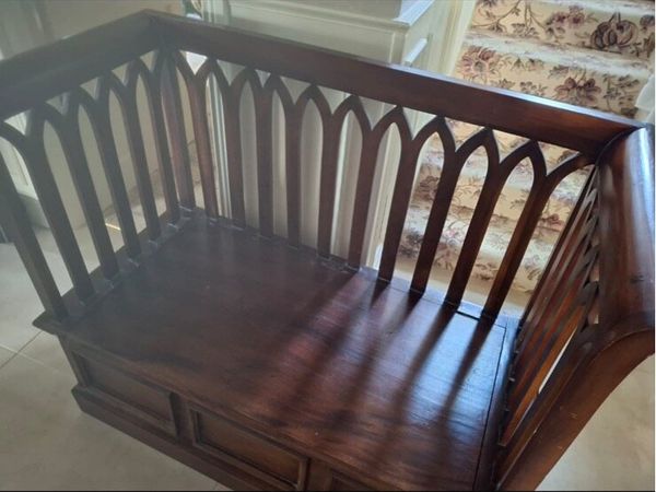
Monks Bench
- 11 hours
- Newcastle West, Limerick
- 2Private Seller3.9
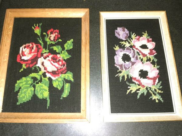
Pair of vintage French framed tapestry
- 11 hours
- Galway City, Galway
- 2Private Seller3.9
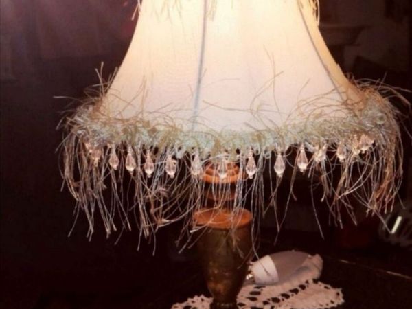
Lovely old brass lamp
- 11 hours
- Galway City, Galway
- 2Private Seller3.9
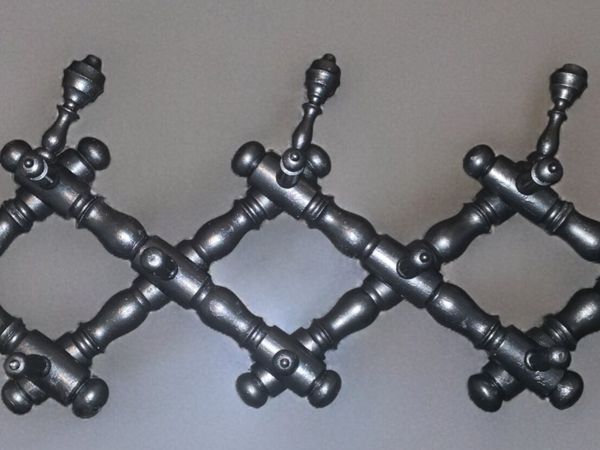
Antique wooden accordion coat rack
- 11 hours
- Galway City, Galway


Showing 1 - 30 of 3,475