
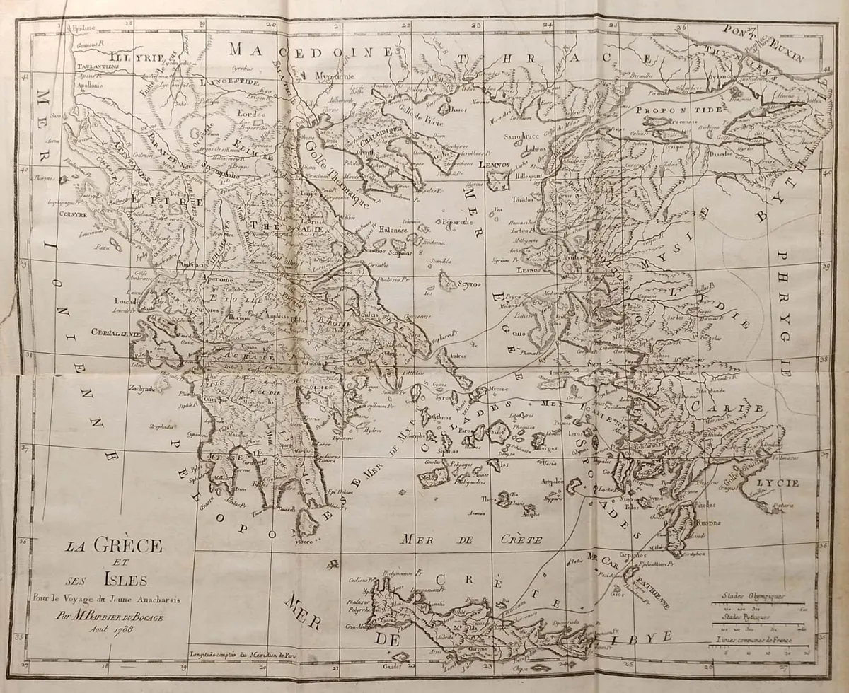
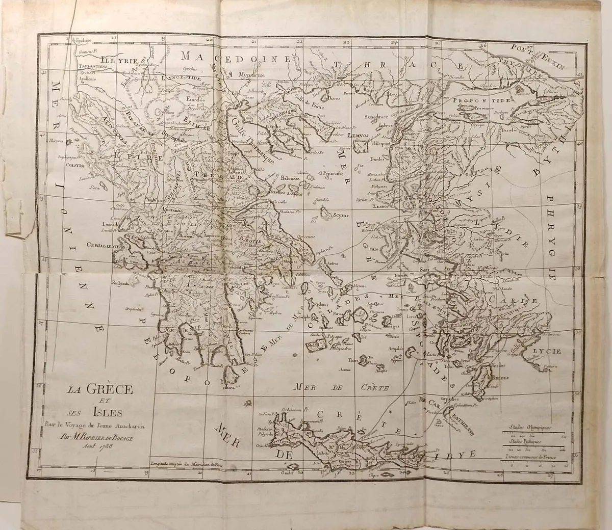
La Grece et ses Isles Antique Map 1790
- 16 days
- 37 views
- Waterford City, Waterford
Description
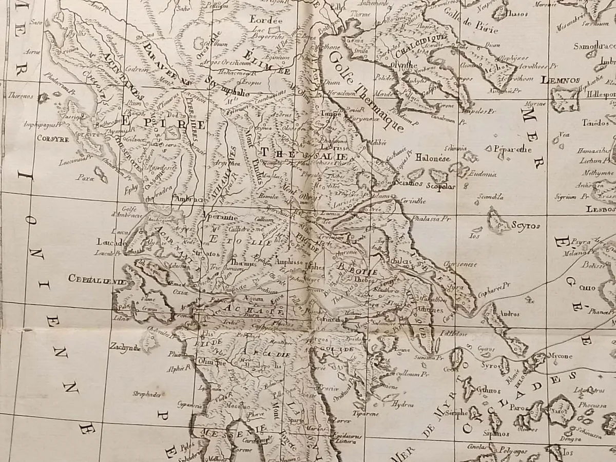
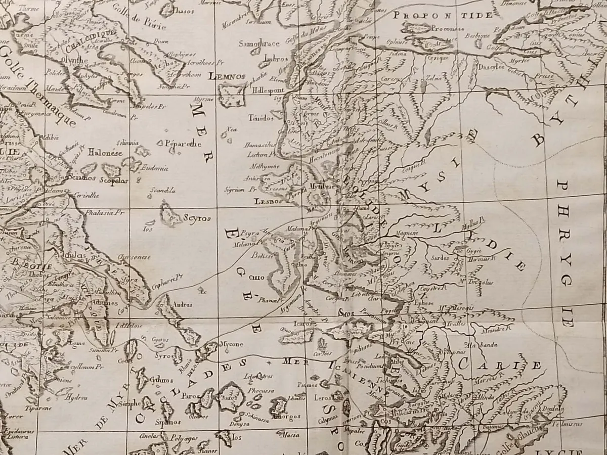
Antique Map published in Paris in 1790, dated 1788. The map is titled La Gréce et ses Isles. The map itself was published as part of Recueil de cartes géographiques , plans, vues et médailles de L’Ancienne Grece, Relatifs au Voyage du jeune Anacharsis; Précédé d’une Analyse Critique des Cartes. The work was published by Barbie du Bocage, Parisian bookseller who did publications for Monsieur Frére du Roi ( the Kings Brother). They where also cartographers and cosmographers in the 18th and 19th century. The overall size is 16 by 17 1/2 inches, with the map area being 13 1/2 by 17 inches. The map is in ok conditions for age, paper will show age and marks. Map has been folded over the centuries and fold lines are present, perforations on some folds. Paper tear top left of map, edges frayed, please see pictures. View more prints and maps at anticogallery.com
Some information displayed may be provided by third parties or identified using AI, and may not be fully accurate, complete, or up to date.

- Verified private seller
- Waterford City, Waterford
Email, Phone, Payment card
Excellent
Reviews
7 years
on DoneDeal
DoneDeal rating
4.9/5
14 Reviews- Quick response•4
- Easy to deal with•4
- Item as described•1
- Prompt collection•1
- Good communication•1
- Reliable•1
Find out how we are keeping you safe.
Learn moreYou may also like
- Similar items in your price range
- 1 / 2
Wexford 1837 Antique Map Including Baronies
- 22 days
- Waterford City, Co. Waterford
- 1 / 4
Plan des Environs d’Athenes 1790
- 16 days
- Waterford City, Co. Waterford
- 1 / 4
Antique 1880's Map of Ireland
- 8 days
- Mallow, Co. Cork
- 1 / 2
Plan de L’Academie (Athens) 1790
- 16 days
- Waterford City, Co. Waterford
- 1 / 2
Antique Colour Map of The County of Wexford
- 22 days
- Waterford City, Co. Waterford
- 1 / 1
Antique coal scuttle
- 17 hours
- Ballina, Co. Tipperary


Legal
DoneDeal.ie is not responsible for the advertised goods. It is illegal to use the contact information for commercial purposes.
- Verified private seller
- Waterford
Email, Phone, Payment card
Excellent
Reviews
7 years
on DoneDeal
Tips and guides
- Safety guide
- Be informed, read our advice if you get unwanted calls