

1 / 2
Galway 1837 Antique Map Including Baronies
- 5 hours
- Waterford City, Co. Waterford
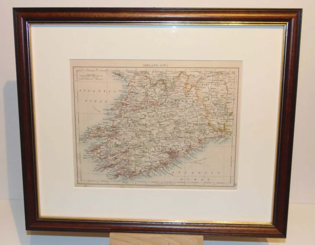
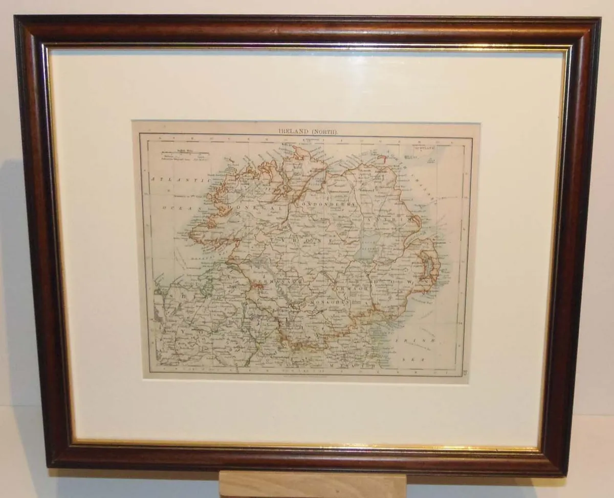
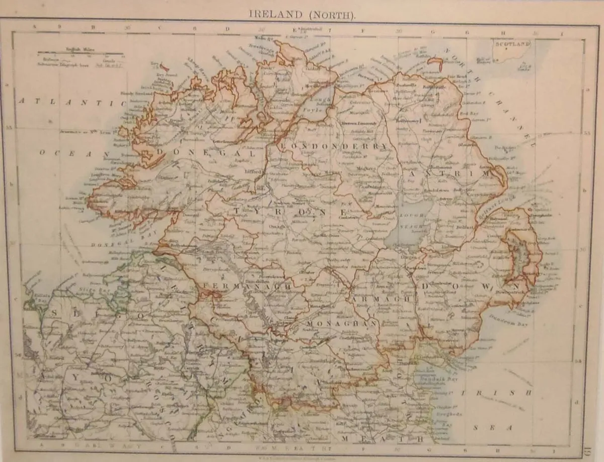
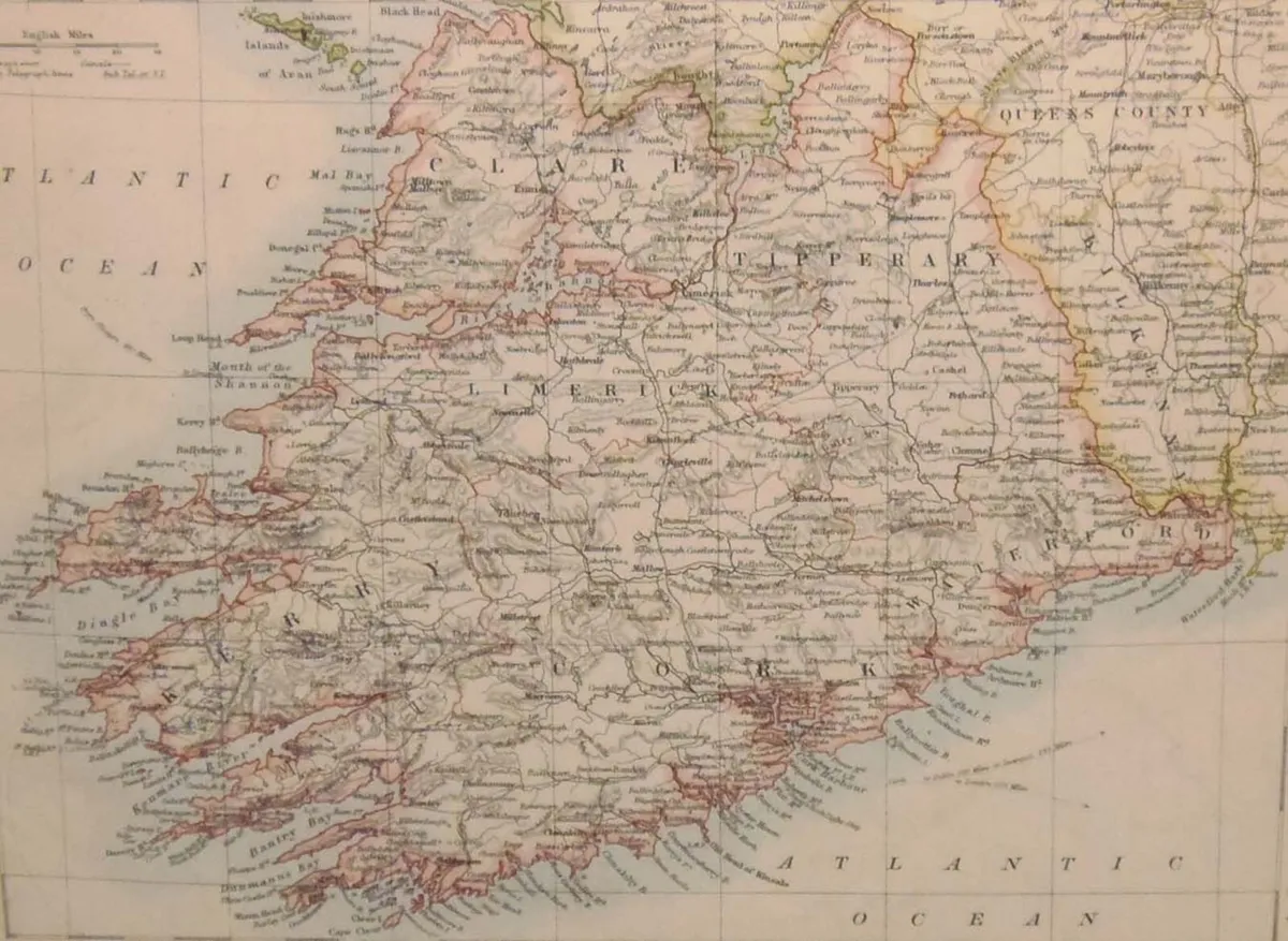
Pair of antique maps published in 1905 of Ireland. Maps are titled Ireland North and Ireland S.W. ( South West) The maps where originally published by W & A K Johnson in Edinburgh as part of the World Wide Atlas. The maps are mounted and framed, frames are vintage, later than the maps. The maps are in very good condition, paper shows ageing and small spots of foxing. The maps are 10 by 8 inches with the overall outer dimensions including frame being 14 3/4 by 17 inches. View more maps for sale at Anticogallery.com
Some information displayed may be provided by third parties or identified using AI, and may not be fully accurate, complete, or up to date.

Email, Phone, Payment card
Excellent
Reviews
8 years
on DoneDeal
4.9/5
14 ReviewsFind out how we are keeping you safe.
Learn moreYou may also like
Galway 1837 Antique Map Including Baronies

Pair of Antique Mahogany Chairs

Kerry 1837 Antique Map Including Baronies

Roscommon 1837 Antique Map Including Baronies

Tipperary 1837 Antique Map Including Baronies

Legal
DoneDeal.ie is not responsible for the advertised goods. It is illegal to use the contact information for commercial purposes.
Email, Phone, Payment card
Excellent
Reviews
8 years
on DoneDeal
Tips and guides