

1 / 2
Roscommon 1837 Antique Map Including Baronies
- 1 hour
- Waterford City, Co. Waterford
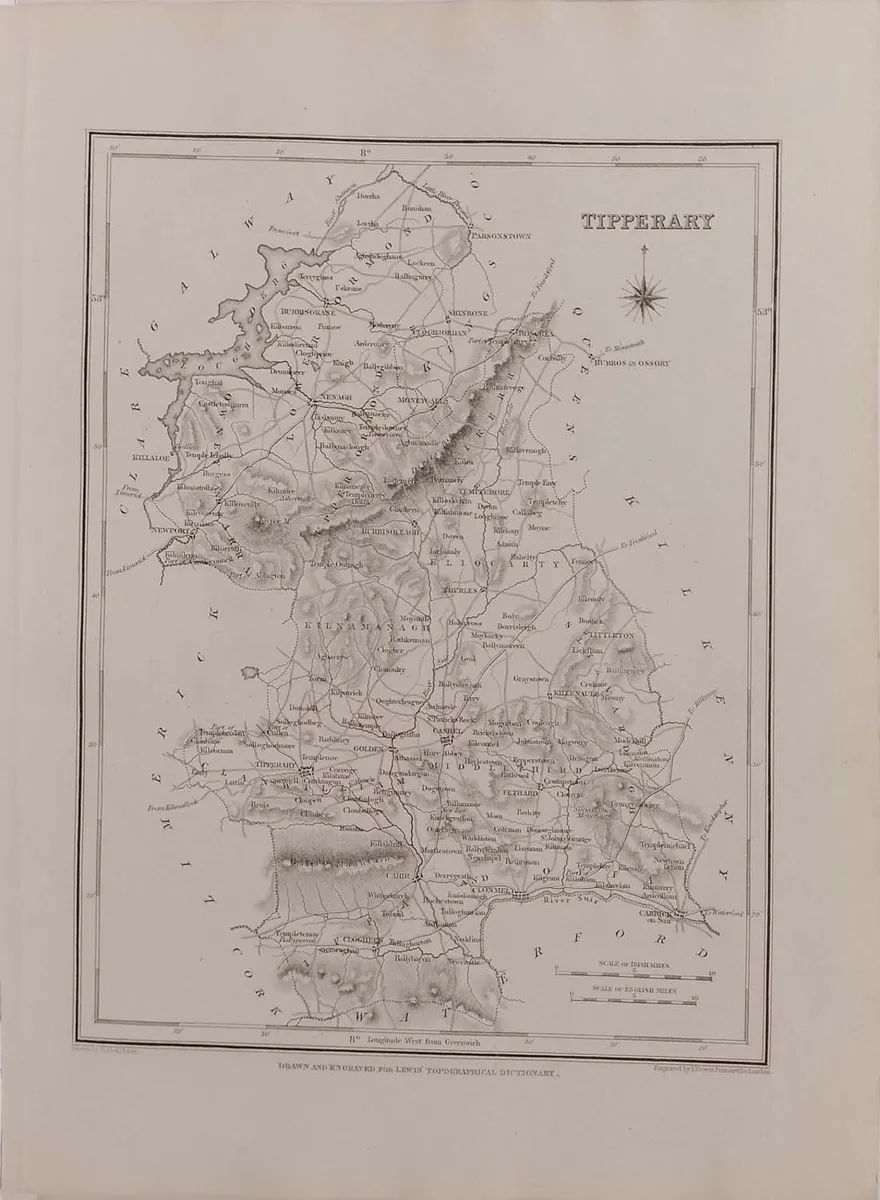
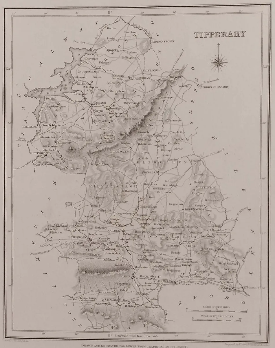

Original 1837 antique map of the county of Tipperary. Map shows the main towns and villages of the time with the historical baronies also shown. The overall paper size is 12 1/2 by 9 1/2 inches, map size is 9 1/2 by 7 1/2 inches. Excellent margins for framing. Map is in very good condition, well preserved, paper will show ageing, markings and bumping. Originally published as part of Lewis’s Topographical Dictionary of Ireland on September the 27th 1837, the work was a comprehensive reference work detailing the geography and various aspects of Irish life. Compiled by Samuel Lewis, the dictionary includes detailed descriptions of Ireland’s parishes, towns, baronies, and counties. Map was drawn by R Creighton. View more maps at anticogallery.com
Some information displayed may be provided by third parties or identified using AI, and may not be fully accurate, complete, or up to date.

Email, Phone, Payment card
Excellent
Reviews
7 years
on DoneDeal
4.9/5
14 ReviewsFind out how we are keeping you safe.
Learn moreYou may also like
Roscommon 1837 Antique Map Including Baronies

Kerry 1837 Antique Map Including Baronies

La Grece et ses Isles Antique Map 1790


Legal
DoneDeal.ie is not responsible for the advertised goods. It is illegal to use the contact information for commercial purposes.
Email, Phone, Payment card
Excellent
Reviews
7 years
on DoneDeal
Tips and guides