
Atlas of The Rural Irish landscape
- 10 hours
- 14 views
- South County, Dublin
Description
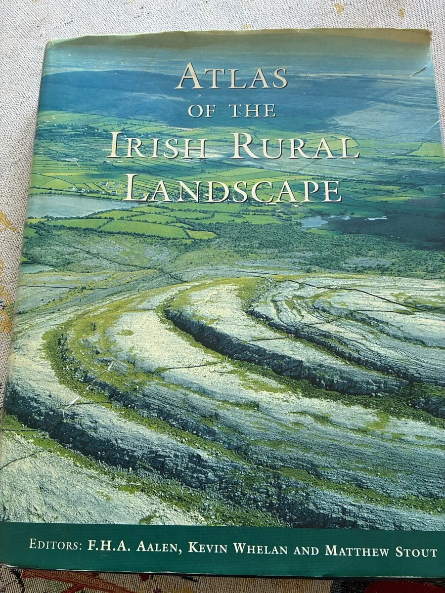
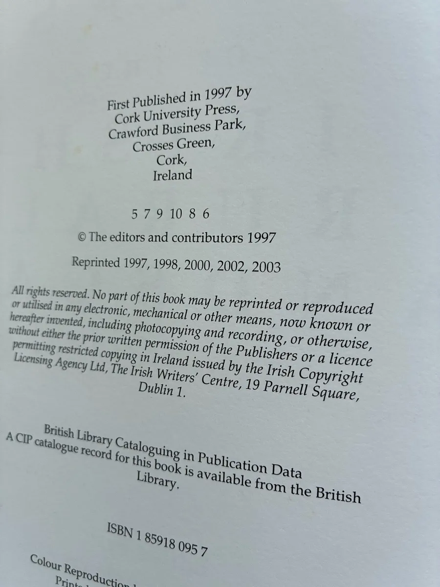
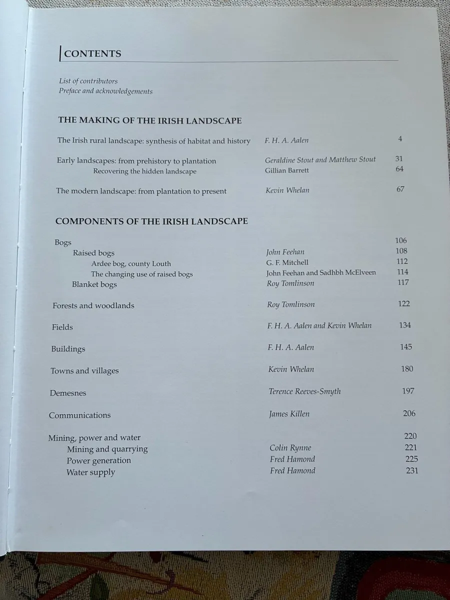
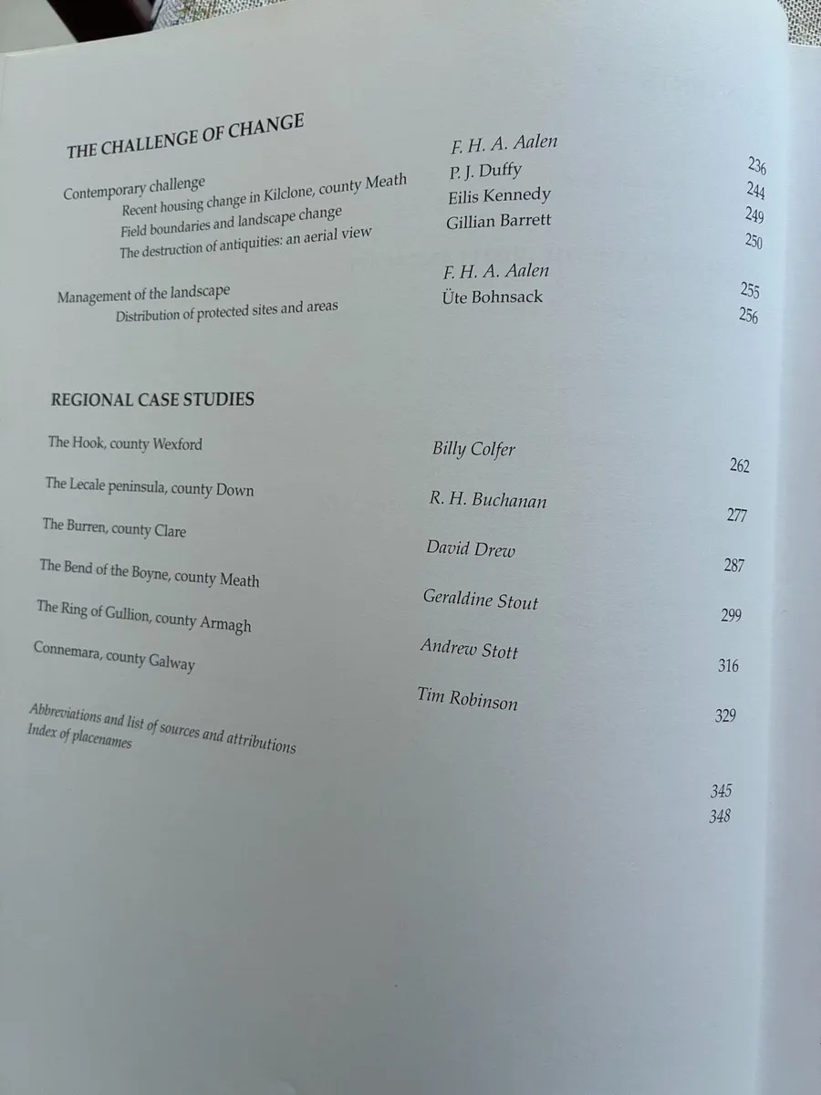
An excellent hardback copy of ‘Atlas of The Irish Rural Landscape. A magnificently illustrated, beautifully written, and thoroughly updated introduction to the hidden riches of the Irish landscape. Topics include archaeology, field and settlement patterns, houses, demesnes, villages and small towns, monuments, woodland, bogs, roads, canals, and a host of other features. The Atlas combines superbly chosen illustrations and cartography with a text amenable to a general reader. Hundreds of maps, diagrams, photographs, and paintings present accessible information suitable for any school, college, or home. New content in the contemporary section takes into account the Celtic Tiger and explores six fresh case studies - Tory Island (Donegal), the Wicklow Uplands, Inistiogue (County Kilkenny), Aughris (County Sligo), Clonfert (County Galway), and Point Lance in Newfoundland. This edition of the award-winning Atlas of the Irish Rural Landscape continues to increase the visibility of the landscape within national heritage while establishing a proper basis for conservation and planning. 352 pages and weighing 2.1 kg. In excellent condition. Show less
Some information displayed may be provided by third parties or identified using AI, and may not be fully accurate, complete, or up to date.
![[object Object] image](https://statics.donedeal.ie/dist-marketplace-frontend-donedeal/2026.5.28-91810.production/spassets/images/illustrations/profile-new.svg)
Fergus Hopper
- Private Seller
- South County, Dublin
Email, Phone
Excellent
Reviews
9 years
on DoneDeal
DoneDeal Rating
5.0/5
643 Reviews- Easy to deal with•310
- Good communication•144
- Smooth process•98
- Item as described•84
- Quick response•48
- Prompt collection•21
- Reliable•16
- Great value•10
Find out how we are keeping you safe.
Learn MoreYou may also like
- Similar items in your price range
- 1 / 10
Antiquities of the Irish Countryside
- 28 days
- South County, Co. Dublin
- 1 / 9
A Secret History of The IRA
- 6 hours
- South County, Co. Dublin
- 1 / 10
In The Shadow of Benbulben
- 2 days
- South County, Co. Dublin
- 1 / 2
The Oxford Campanion of the Mind
- 11 days
- Enniskerry, Co. Wicklow
- 1 / 6
The life & Legend of St Patrick (1949)
- 25 days
- South County, Co. Dublin
- 1 / 9
Guide To Rural Ireland
- 4 days
- South County, Co. Dublin


Legal
DoneDeal.ie is not responsible for the advertised goods. It is illegal to use the contact information for commercial purposes.
Tips and Guides
- Safety Guide
- Be informed, read our advice if you get unwanted calls