558 ads for Books in Ireland

Sorry, this ad is no longer available
View similar ads below
- 8Private Seller5
The English Difference
- 1 hour
- South County, Dublin
- 7Private Seller4.9
SÍ SEÑOR: My Liverpool Years - THE LONG-AWAITED ME
- 13 hours
- Ballyphehane, Cork
- 1Private Seller5
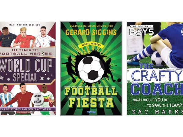
Selection of children's soccer books
- 15 hours
- Rathcoole, Dublin
- 3Private Seller5
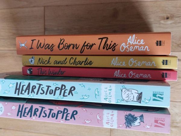
Young Adult Books
- 16 hours
- Enniscorthy, Wexford
- 10Private SellerNo rating
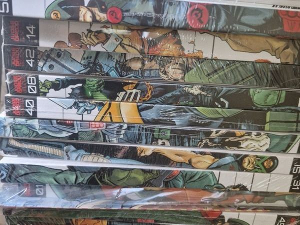
Hardback Judge Dredd Books
- 17 hours
- Dublin
- 10Private Seller5
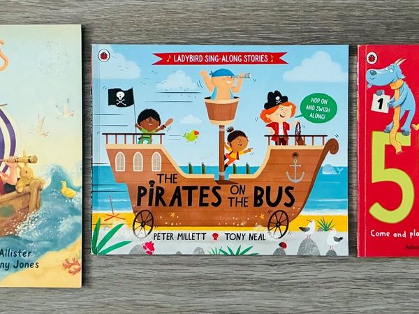
3 Books for €10 - Gorgeous Kids Books
- 17 hours
- Rathcoole, Dublin
- 5Private Seller5
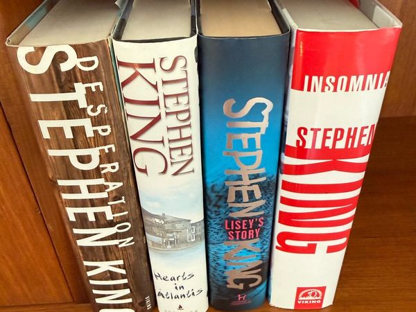
4 Large Stephen King Books
- 18 hours
- Naas, Kildare
- 1Private Seller5
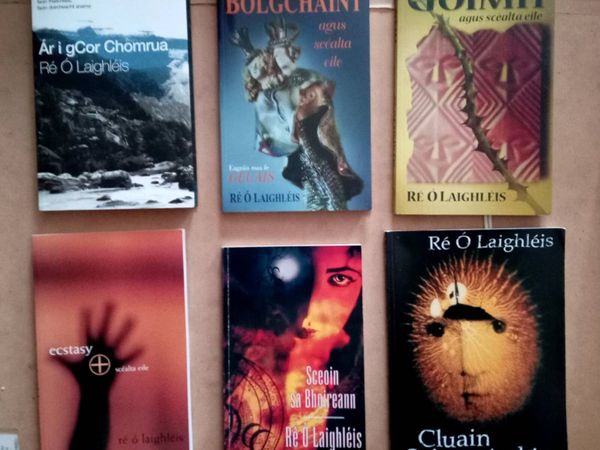
Joblot Six Re O Laighleis Irish Books
- 18 hours
- Mayo, Mayo
- 1Private Seller5
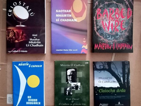
Joblot Máirtín O Cadhain Irish Books and Dvds
- 18 hours
- Mayo, Mayo
- 1Private Seller5
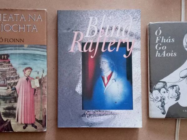
Three Criostoir O Floinn Irish Books
- 18 hours
- Mayo, Mayo
- 1Private Seller5
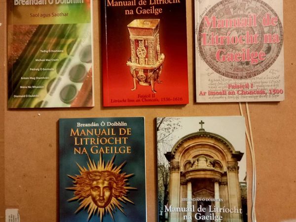
Five Brendan O Doibhlin Irish Books
- 18 hours
- Mayo, Mayo
- 4Private Seller5
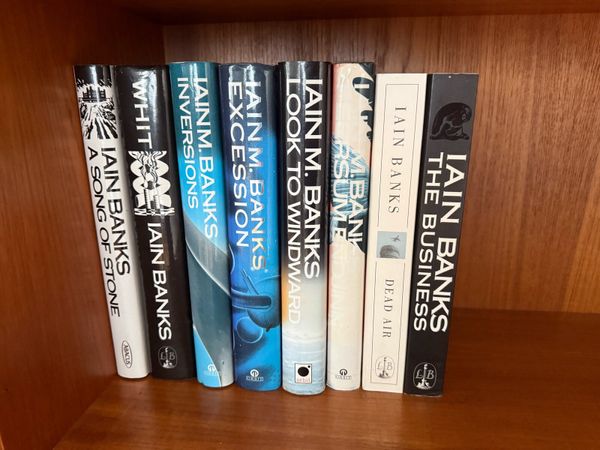
Collection of Iain Banks Books
- 20 hours
- Naas, Kildare
- 6Private Seller5
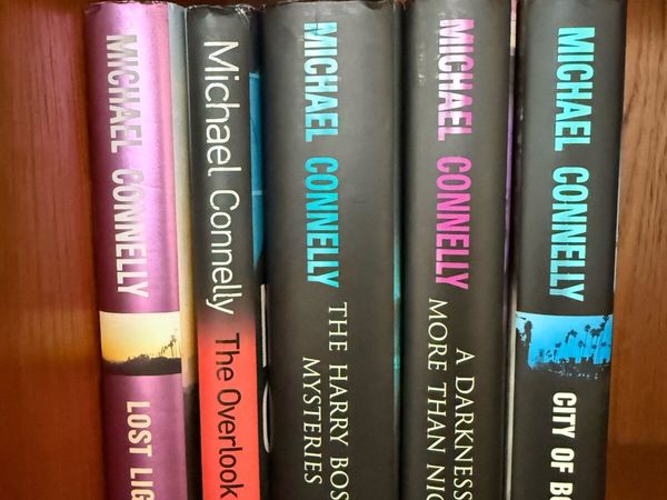
9 Michael Connelly Books
- 20 hours
- Naas, Kildare
- 1Private Seller5
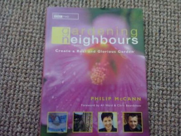
Hard-Back Gardening Book.
- 20 hours
- Mayfield, Cork
- 2Private Seller5
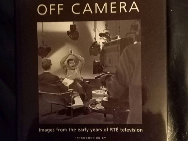
RTE Off Camera Book
- 20 hours
- Meath
- 5Private Seller5
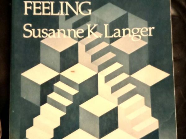
Mind An Essay on Human Feeling 1974 Academic Book
- 20 hours
- Meath
- 6Private Seller5
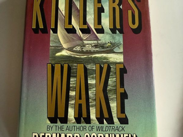
Collection Bernard Cornwell Books
- 20 hours
- Naas, Kildare
- 1Private Seller5
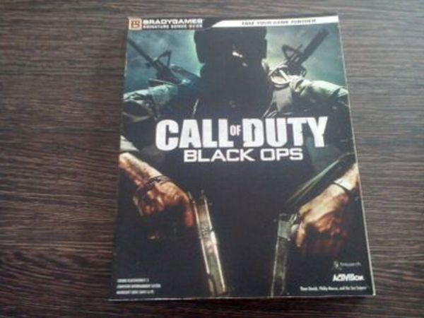
Call of Duty Black Ops Guide Book.
- 21 hours
- Mayfield, Cork
- 1Private Seller5
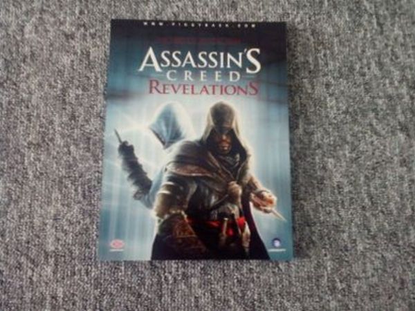
Assassin's Creed Revelations Official Guide.
- 21 hours
- Mayfield, Cork
- 2Private Seller4.9
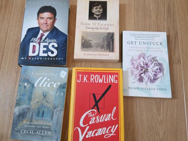
Books
- 21 hours
- Malahide, Dublin
- 1Private Seller4.9
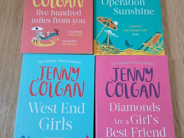
Jenny Colgan novels
- 21 hours
- Malahide, Dublin
- 1Private Seller4.9
Thrillers
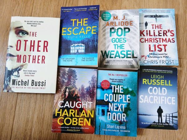
- 21 hours
- Malahide, Dublin
- 1Private Seller4.9
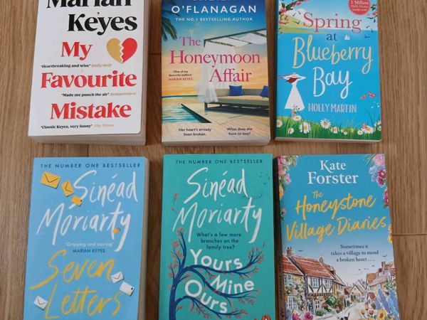
Novels
- 21 hours
- Malahide, Dublin
- 7Private Seller5
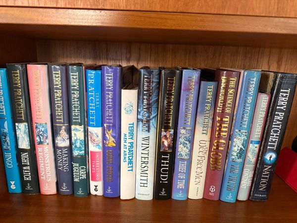
Collection of Terry Pratchett books
- 21 hours
- Naas, Kildare
- 2Private Seller5
Books
- 1 day
- City Centre, Dublin
- 4Private Seller5
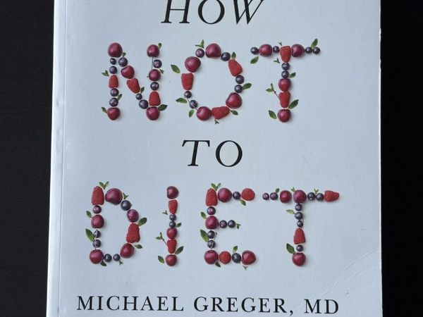
Book: "How Not to Diet" (new), Michael Greger
- 1 day
- City Centre, Dublin
- 3Private Seller5
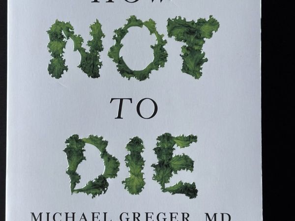
Book: "How Not To Die" Michael Greger NEW
- 1 day
- City Centre, Dublin
- 6Private SellerNo rating
Books
- 1 day
- Claremorris, Mayo
- 2Private Seller5
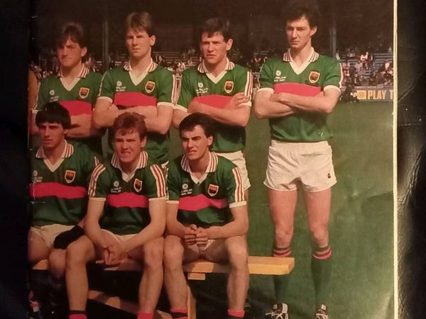
Mayo GAA Yearbook 1985
- 1 day
- Mayo, Mayo
- 1Private Seller5
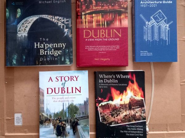
Five Dublin Themed Books
- 1 day
- Mayo, Mayo


Showing 1 - 30 of 558