

1 / 6
Leinster Rugby History Book - Irish Rugby Book
- 27 days
- Myshall, Co. Carlow
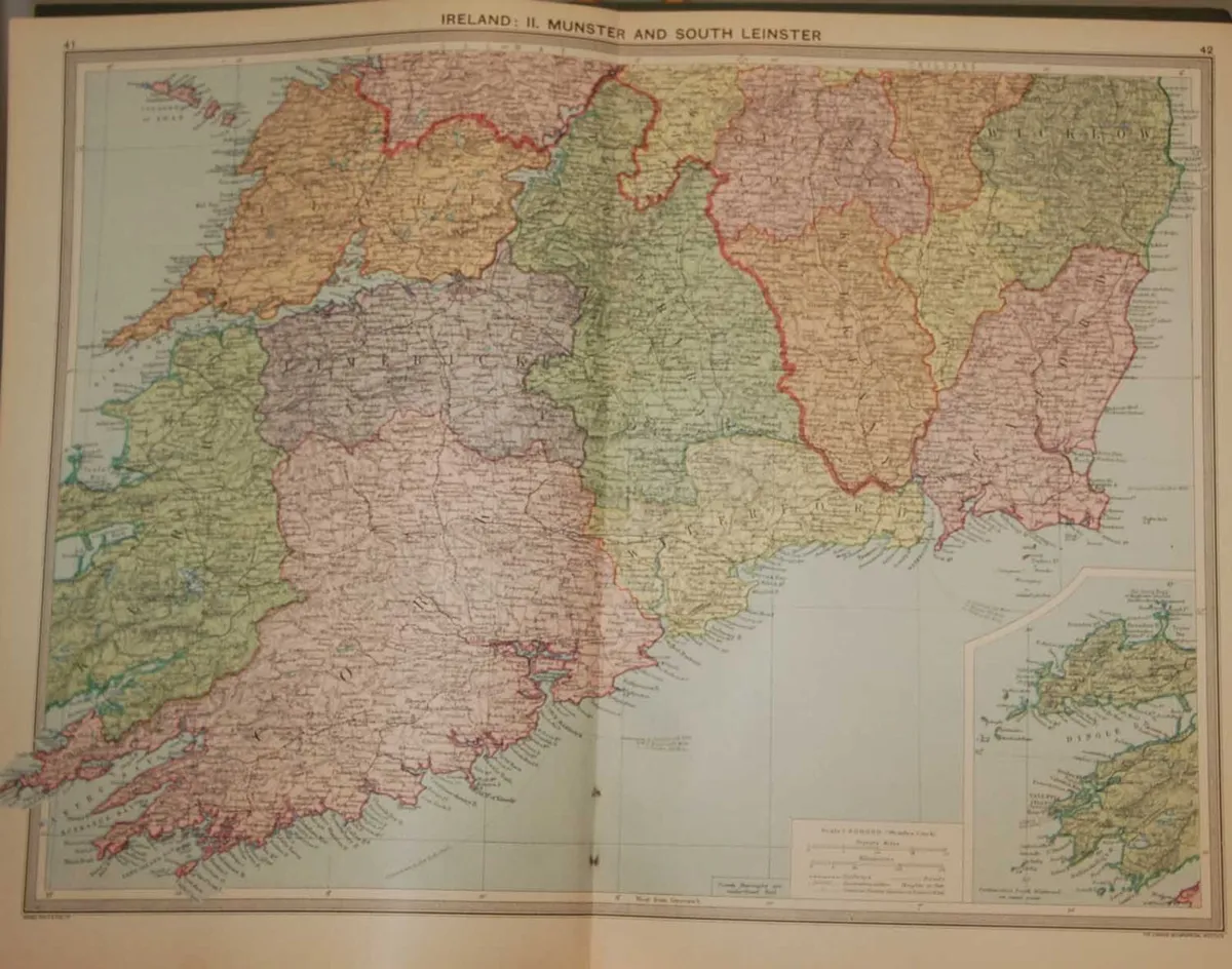
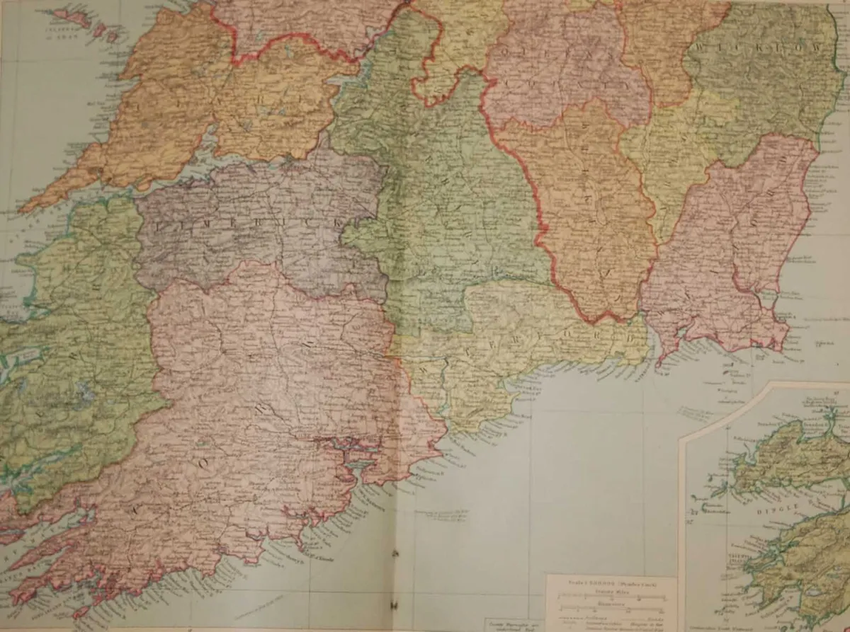
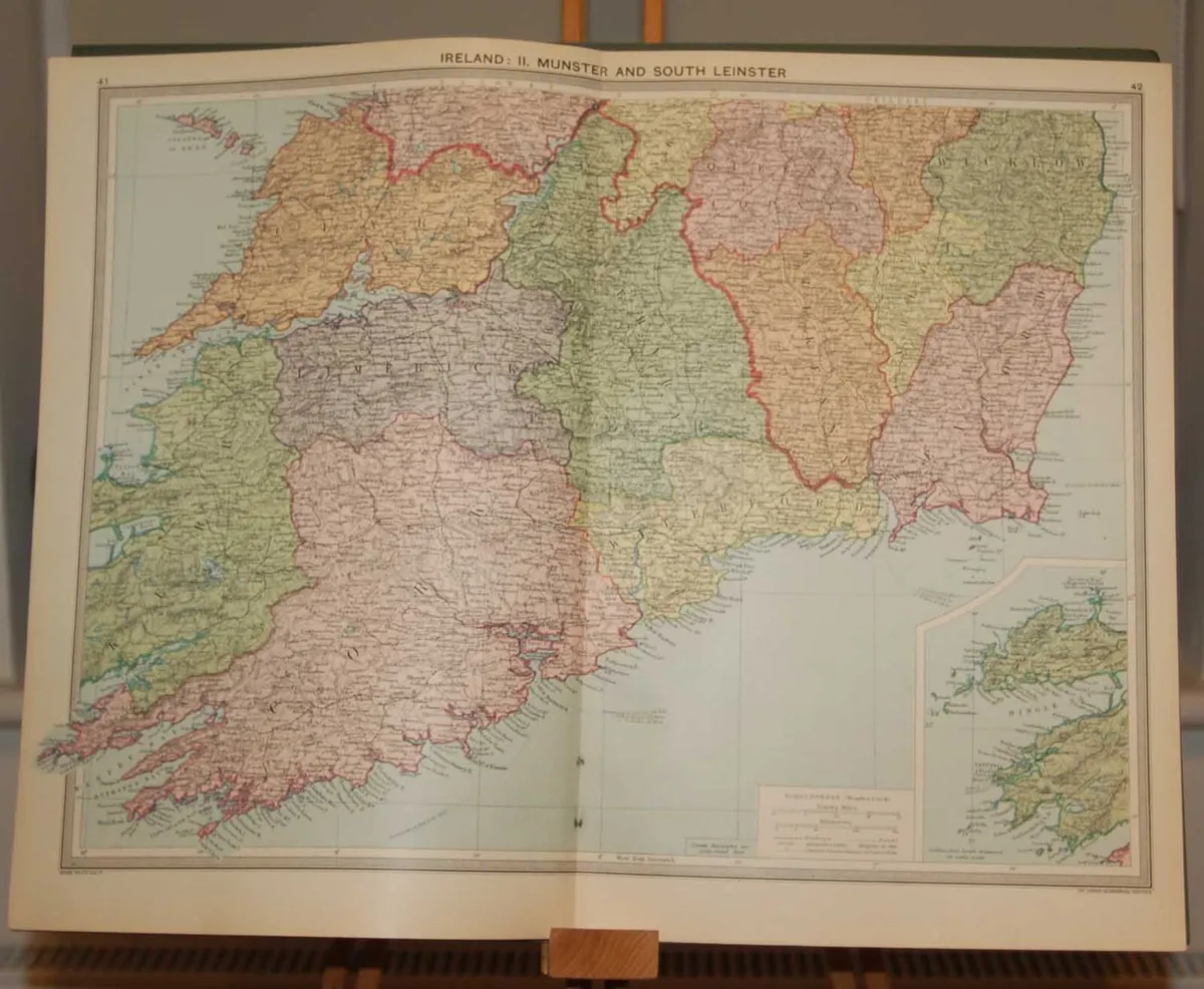

Large vintage colour map from 1930 of Munster and South Leinster. Map shows Munster counties and Wicklow, Kilkenny, Carlow, Wexford and part laois and Offaly ( King and Queens county on map) in Leinster. Separate small map bottom right showing Dingle bay & Valentia. The map was edited by George Philips and printed by his firm in 1930 as part of a larger atlas in conjunction with the London Geographical Institute. The map is large 51 cm’s by 40 cm’s and is suitable for framing. Condition wise, map is in very good condition, exceptionally clean for age and intact, paper will show signs of ageing, map was released as a fold out map. Map has a spine on the back which needs to be kept intact when framing. Postage €7, free postage on orders over €75, free more maps at anticogallery.com
Some information displayed may be provided by third parties or identified using AI, and may not be fully accurate, complete, or up to date.

Email, Phone, Payment card
Excellent
Reviews
7 years
on DoneDeal
4.9/5
14 ReviewsFind out how we are keeping you safe.
Learn moreYou may also like
Leinster Rugby History Book - Irish Rugby Book

CORK 1999 Munster final poster

Tim Robinson Map of Aran Island 1980 edition

1930's Children's teapot, cups, saucers

1930's Alfred Meakin Art Deco teapot

1930's PINEWOOD STUDIOS STAGE LIGHT !!!!!!
Legal
DoneDeal.ie is not responsible for the advertised goods. It is illegal to use the contact information for commercial purposes.
Email, Phone, Payment card
Excellent
Reviews
7 years
on DoneDeal
Tips and guides