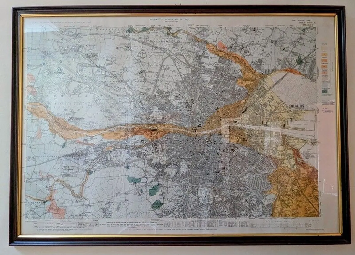

Antique Dublin City Map
- 51 days
- 53 views
- Dublin
Description
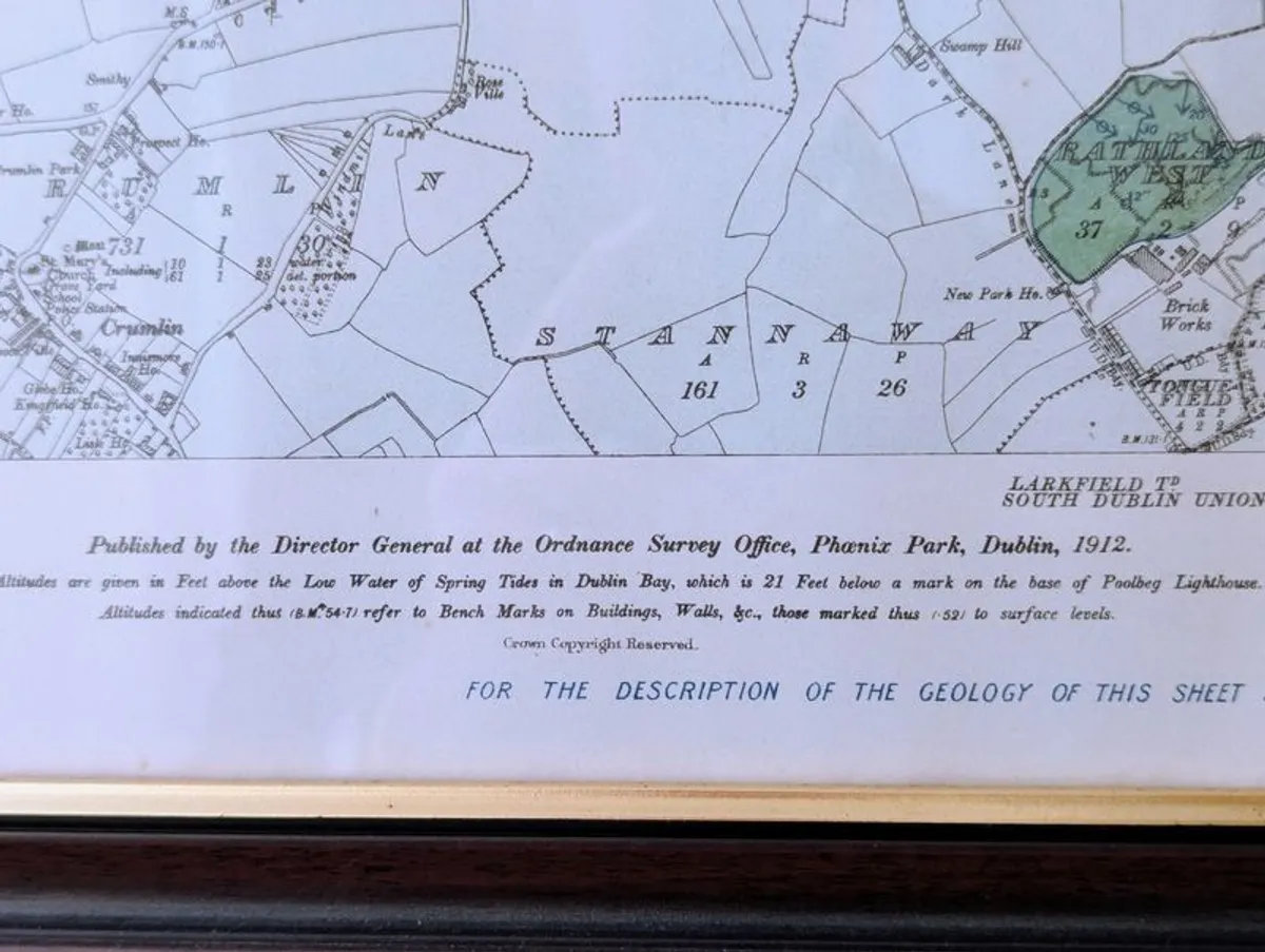
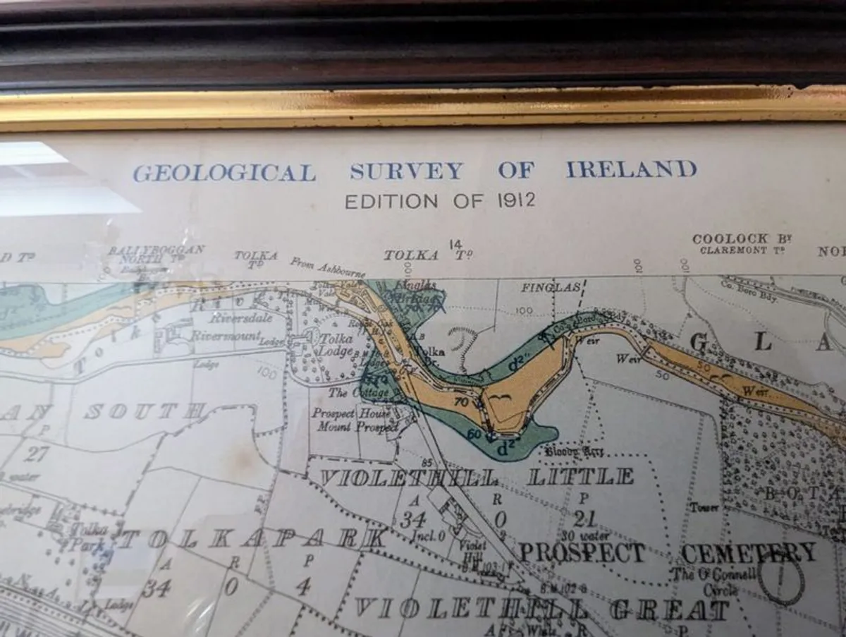
Rare and original Ordnance Survey Map covering Dublin City and suburbs in 1912. Fantastic detail covering both North and South of the city. Professionally framed.
Some information displayed may be provided by third parties or identified using AI, and may not be fully accurate, complete, or up to date.
![[object Object] image](https://statics.donedeal.ie/dist-marketplace-frontend-donedeal/2026.7.2-140010.production/spassets/images/illustrations/profile-new.svg)
PeterMcPartlin
- Private Seller
- Dublin
Email, Phone
No rating
0
No reviews yet
1 year
on DoneDeal
DoneDeal Rating
This seller does not have a rating yet.
Find out how we are keeping you safe.
Learn MoreYou may also like
- Similar items in your price range
- 1 / 4
antiques
- 6 days
- Co. Dublin
- 1 / 2
Dublin Millennium Commorative Coin
- 9 hours
- South County, Co. Dublin
- 1 / 3
Saorstat Eireann with Original Map
- 16 days
- Greystones, Co. Wicklow
- 1 / 5
Silver Proof, The Ha,penny Bridge, Dublin.
- 19 days
- Rathfarnham, Co. Dublin
- 1 / 4
Antique mirror
- 17 days
- Prosperous, Co. Kildare
- 1 / 4
Brass GPO Dublin
- 14 days
- South County, Co. Dublin


Legal
DoneDeal.ie is not responsible for the advertised goods. It is illegal to use the contact information for commercial purposes.
Tips and Guides
- Safety Guide
- Be informed, read our advice if you get unwanted calls