

1 / 10
Vintage Bisto England Dinner set
- 13 hours
- Cork City, Co. Cork
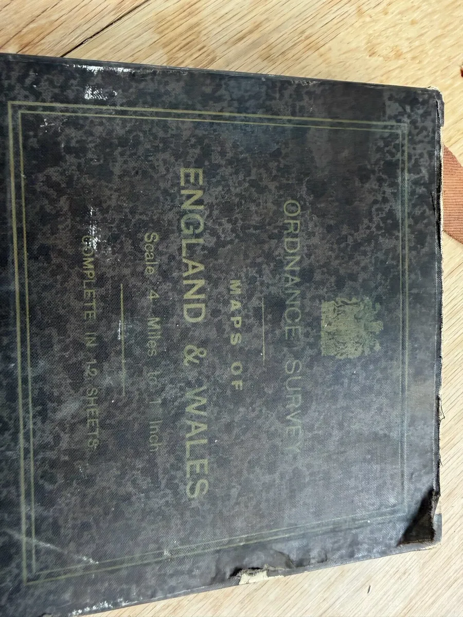
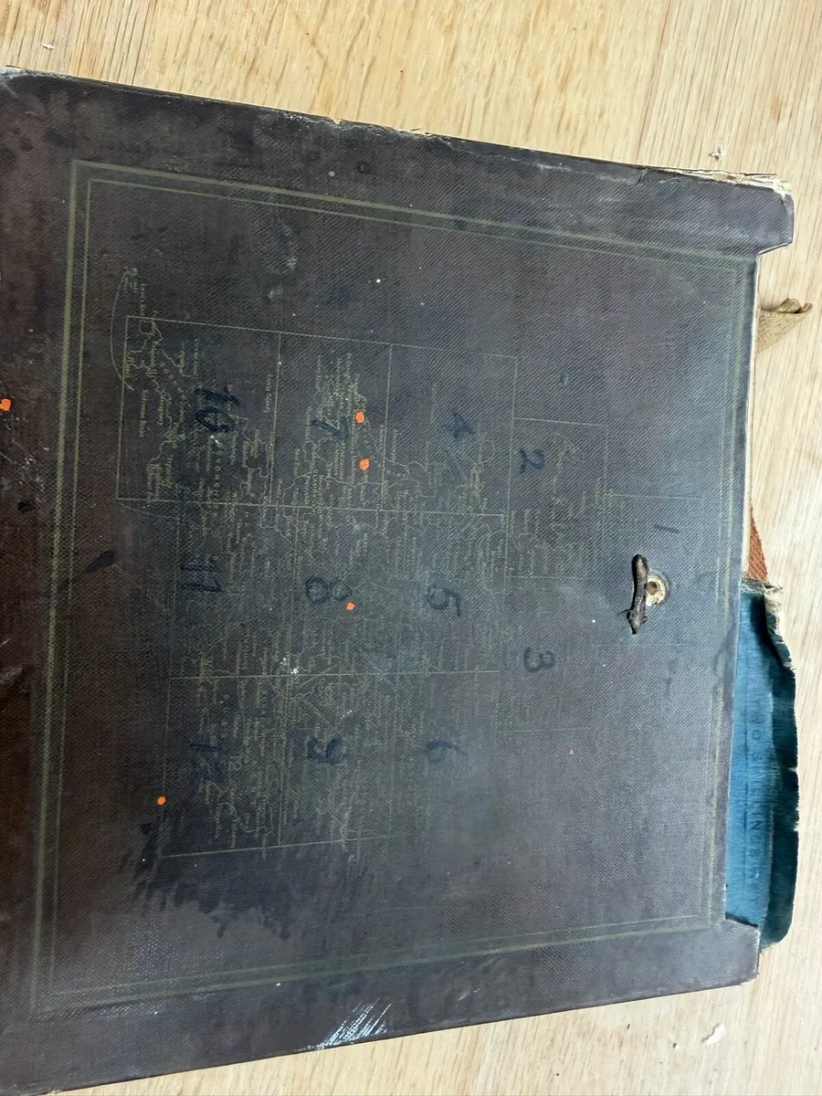
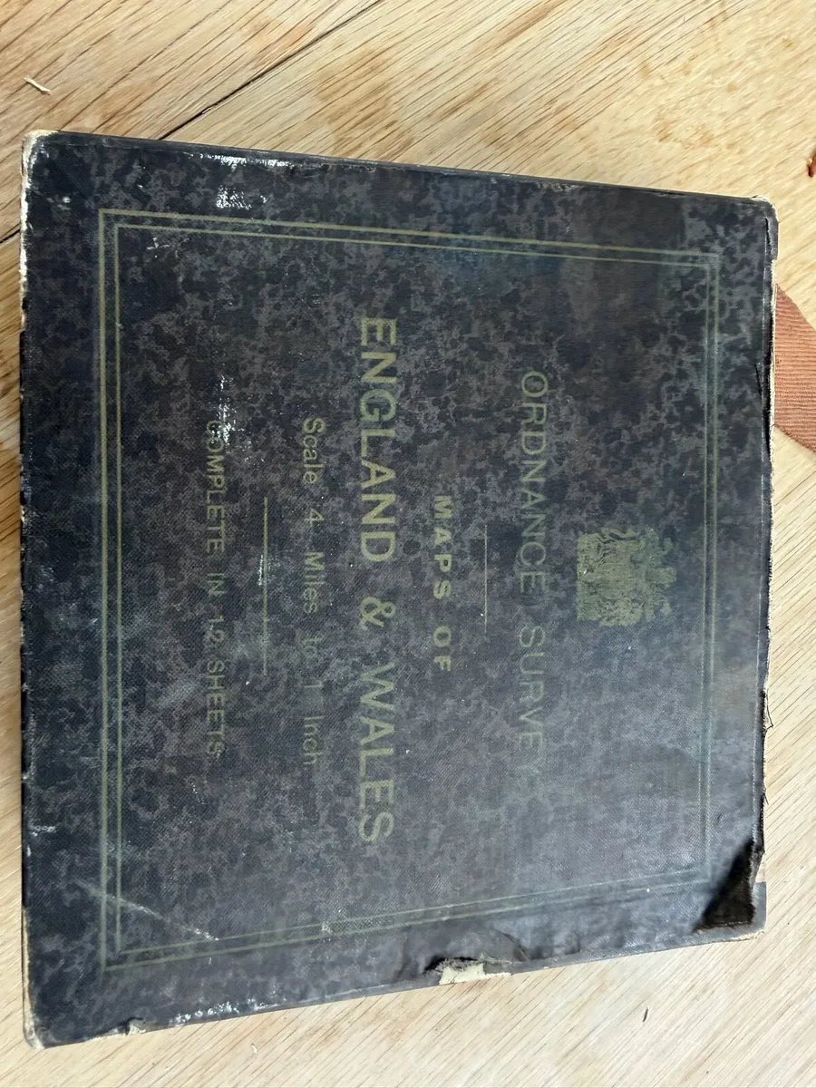
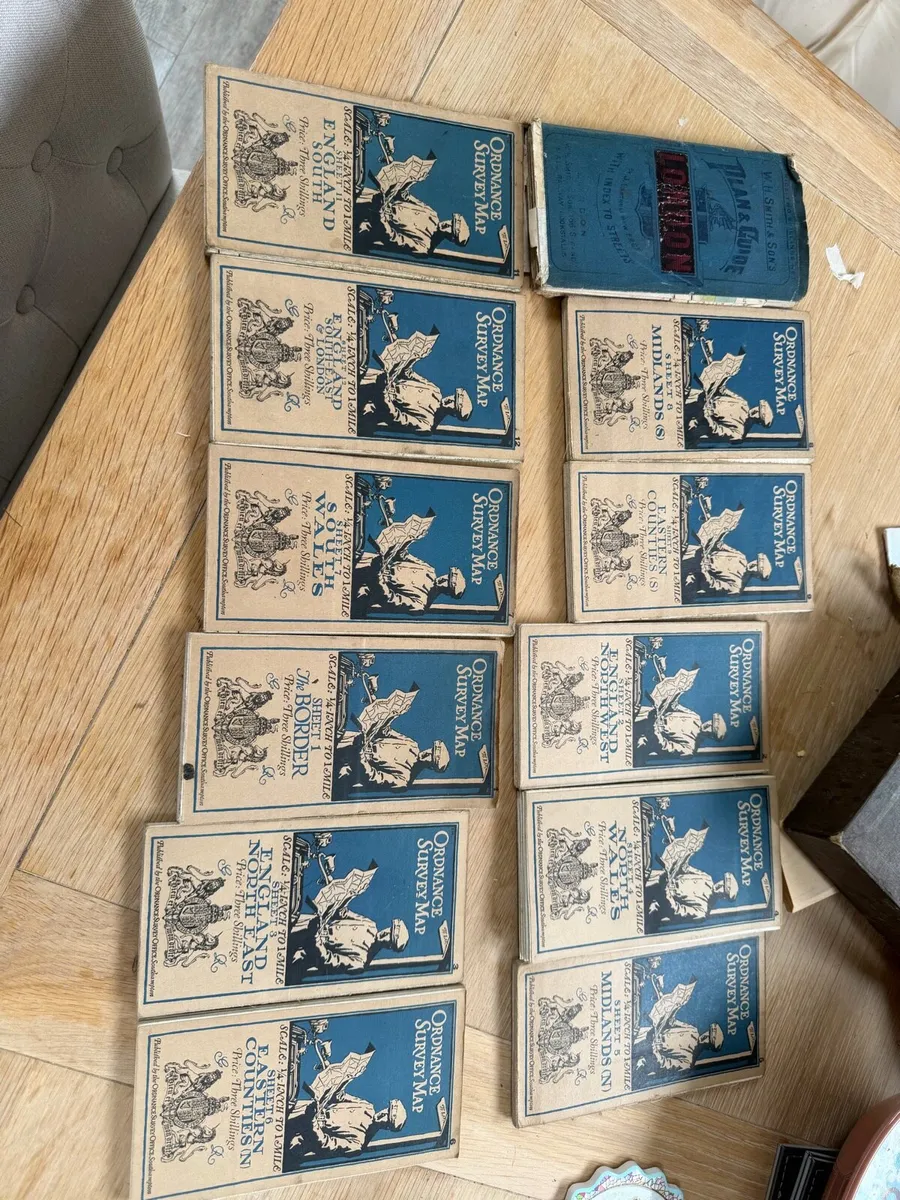
boxed set of 12 Ordnance Survey maps of England & Wales, plus a separate older Bartholomew London map/guide. 1. The Border 2. England North West 3. England North East 4. North Wales & Manchester 5. Midlands (N) 6. Eastern Counties (N) 7. South Wales 8. Midlands (S) 9. East Anglia 10. South-West England 11. England South 12. England South-East & London
Some information displayed may be provided by third parties or identified using AI, and may not be fully accurate, complete, or up to date.

Email, Phone
Excellent
Reviews
15 years
on DoneDeal
5.0/5
462 ReviewsFind out how we are keeping you safe.
Learn moreYou may also like
Vintage Bisto England Dinner set

Kirsty Jane England Orchard Gold Soup Tureen

Vintage South Wales Police Helmet

60Pc.Aynsley Cottage Garden England Dinner &TeaSet

Elizabethan England Happy Anniversary Cup & Saucer

Carlton Ware England Rouge Royale 3 Pc. Collection
Legal
DoneDeal.ie is not responsible for the advertised goods. It is illegal to use the contact information for commercial purposes.
Tips and guides