4,018 ads for Collectibles in Ireland

Sorry, this ad is no longer available
View similar ads below
- Spotlight6Private Seller3.7
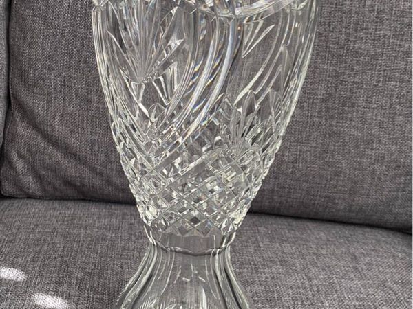
Waterford crystal Birds of paradisa 14
- 18 days
- Kildare, Kildare
- Spotlight10Private Seller3.7
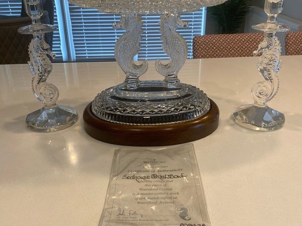
Waterford crystal
- 36 days
- Kildare, Kildare
- Spotlight7Private Seller5
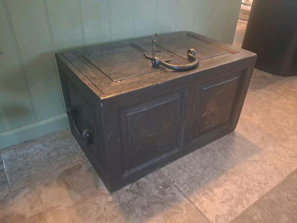
Victorian Strong Box(Safe) with Key 54cm x 30cm
- 5 days
- Dublin 6W, Dublin
- 10Private Seller5
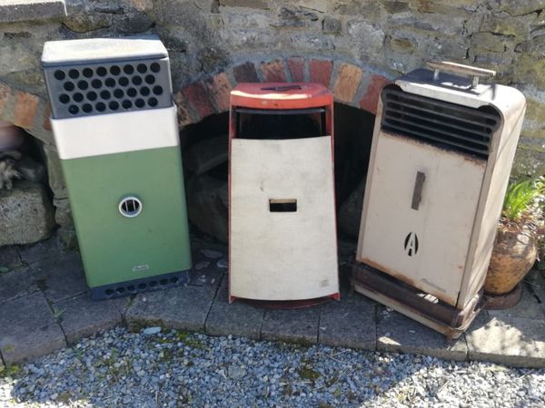
Vintage kerosene heaters
- 3 hours
- Callan, Kilkenny
- 7Private Seller3.3
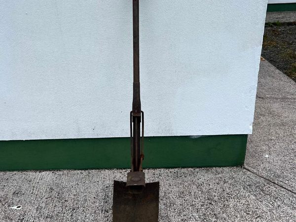
Terex Spade
- 4 hours
- Kilrush, Clare
- 8Private SellerNo rating
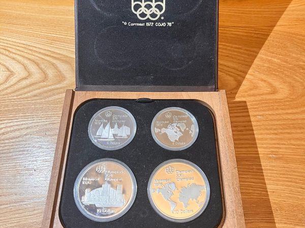
1972 Canada Winter Olympics Silver Set
- 4 hours
- Birdhill, Tipperary
- 7Private Seller5
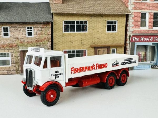
Fisherman's Friend ,Fleetwood, Free Post
- 5 hours
- Rathfarnham, Dublin
- 6Private Seller5
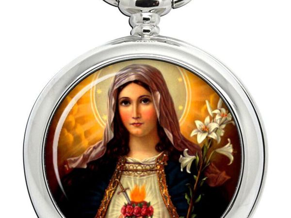
Pocket Watch and Albert Chain. Free Post
- 5 hours
- Rathfarnham, Dublin
- 3Private SellerNo rating
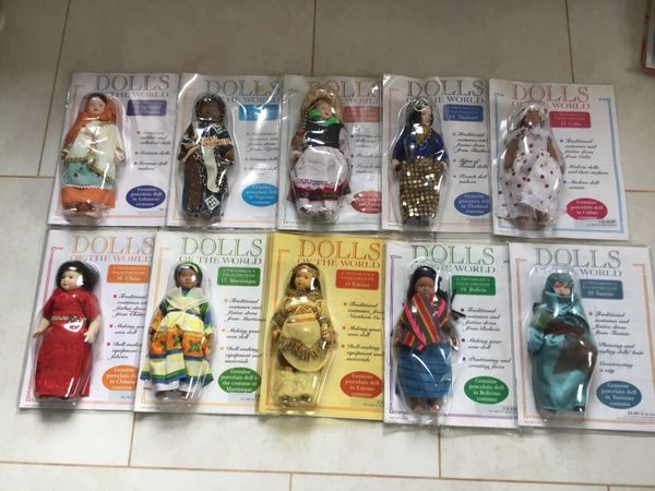
Porcelain dolls of the world
- 5 hours
- Nenagh, Tipperary
- 1Private Seller5
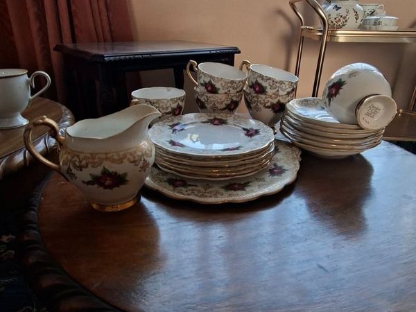
China tea set
- 6 hours
- Sandyford, Dublin
- 5Private SellerNo rating
Jug and bowl
- 6 hours
- Carrigallen, Leitrim
 Ireland's Best Selection of Dealership Cars
- 1Private Seller5
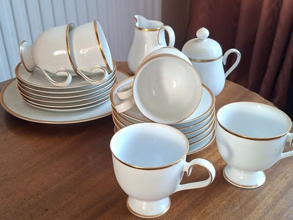
Noritake Tea set
- 6 hours
- Sandyford, Dublin
- 10Private Seller5
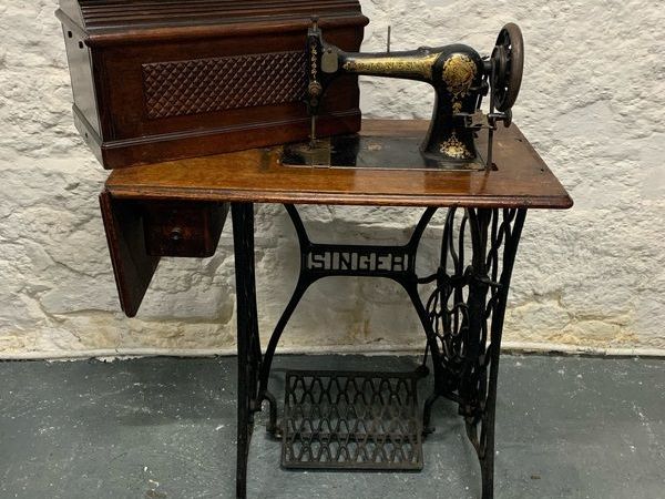
Vintage Singer Cast Iron Sewing Table with Jones 6400 Machine.
- 7 hours
- Westmeath
- 2Private Seller4.9
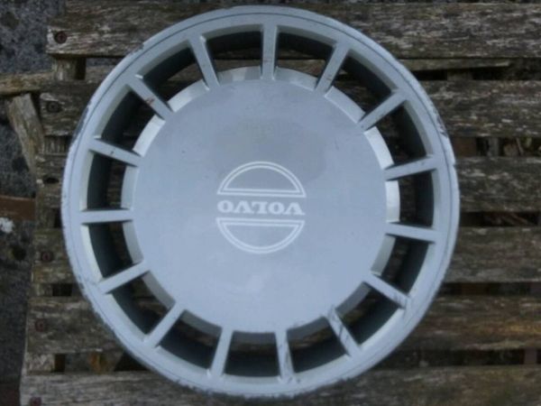
Volvo Hubcap
- 7 hours
- Mullingar, Westmeath
- 5Private Seller5
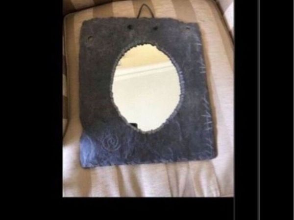
Rare Kerry slate Mirror
- 7 hours
- South County, Dublin
- 1Private Seller4.9
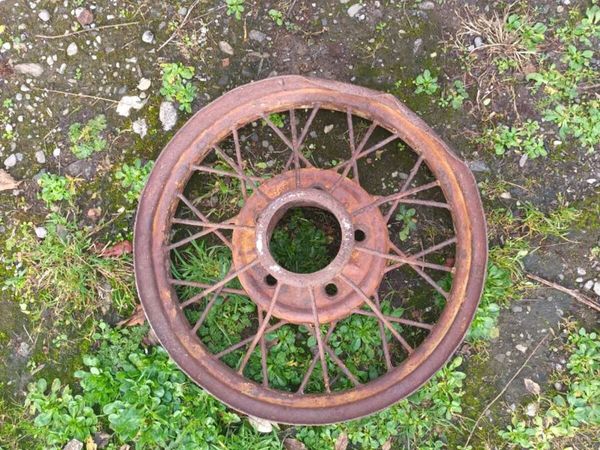
Vintage Car Wheel
- 7 hours
- Mullingar, Westmeath
- 4Private Seller5
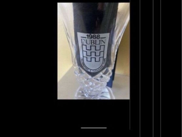
Rare Dublin Millennium Vase
- 7 hours
- South County, Dublin
- 3Private Seller5
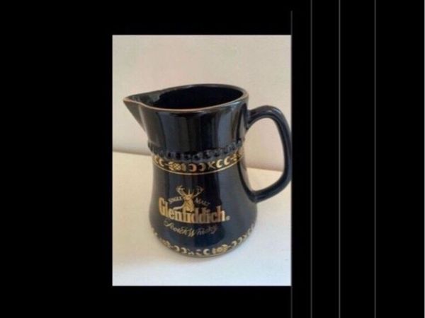
Rare Glenfiddich Ceramic Jug
- 7 hours
- South County, Dublin
- 5Private Seller5
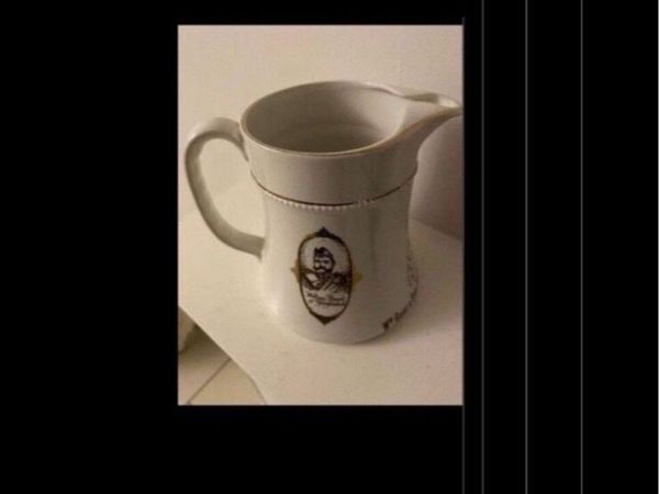
Rare Glenfiddich Ceramic Jug
- 7 hours
- South County, Dublin
- 5Private Seller4.9
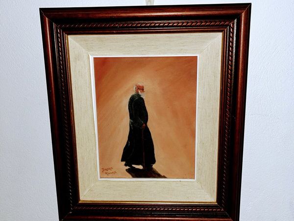
Original Painting signed by artist
- 7 hours
- Letterkenny, Donegal
- 4Private Seller5
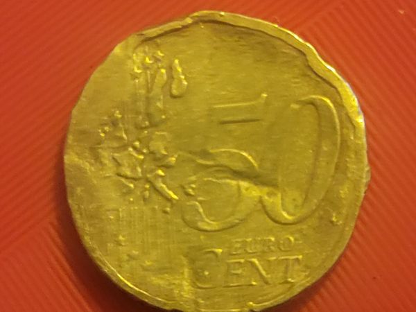
Coin
- 7 hours
- Ennis, Clare
- 10Private Seller4.2
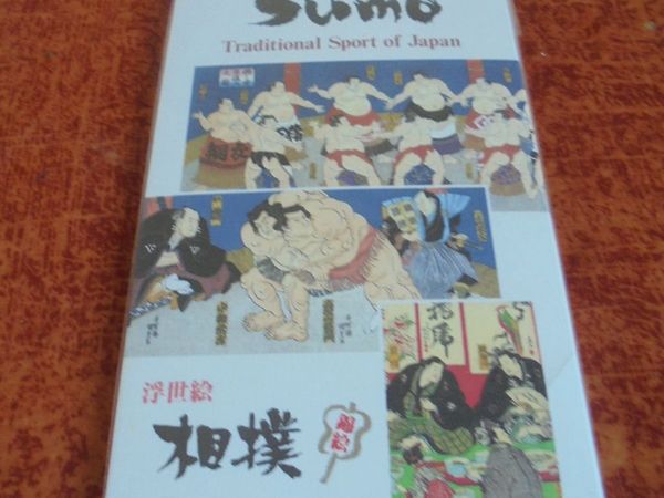
Japanese Suomo Wrestling Post Cards x 10 for Sale
- 7 hours
- Cork City, Cork
- 3Private Seller4.2
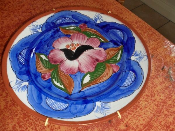
Ceramic Decorative Plate for Sale
- 7 hours
- Cork City, Cork
- 8Private Seller5
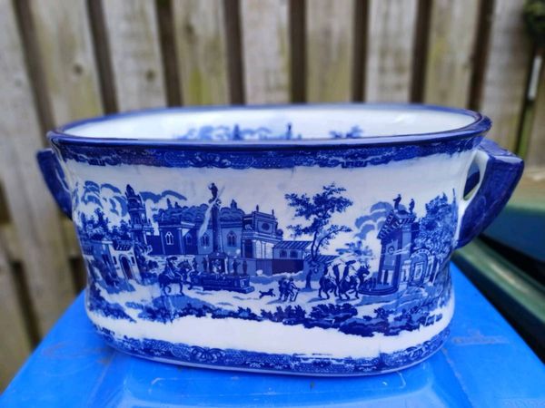
Large Victoria Ware Porcelain Footbath
- 7 hours
- Longford Town, Longford
- 5Private Seller5
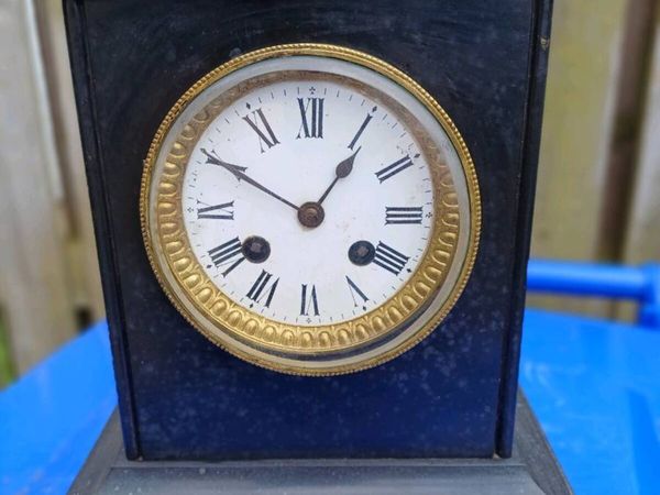
Mid 19th Century Black Slate Mantle Clock
- 8 hours
- Longford Town, Longford
- 2Private Seller1
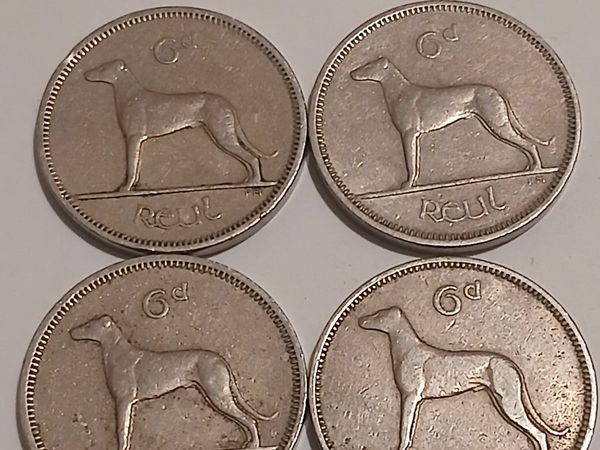
6d reul eire
- 8 hours
- Kinvara, Galway
- 2Private SellerNo rating
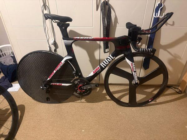
Rose TT bike
- 8 hours
- Dublin 24, Dublin
- 7Private Seller5
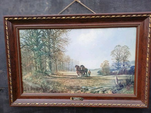
Large Vintage Collectible Picture
- 8 hours
- Longford Town, Longford
- 2Private Seller4.7
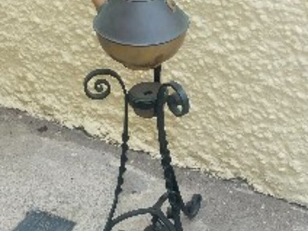
Antique Spirit kettle on metal tripod stand
- 8 hours
- Mallow, Cork
- 2Private Seller4.1
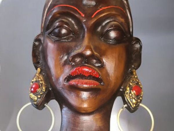
Beautiful large wall decoration
- 8 hours
- Galway City, Galway
- 2Private Seller4.1
Unusual and beautiful large hand cut crystal bowl
- 8 hours
- Galway City, Galway
- 1Private Seller4.7
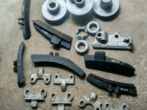
Antique cast Ironmongery
- 8 hours
- Mallow, Cork
- 1Private Seller4.7
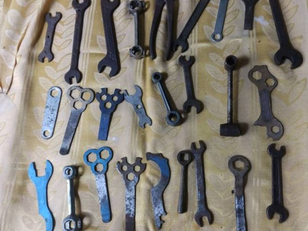
Vintage Bicycle spanners
- 8 hours
- Mallow, Cork


Showing 1 - 30 of 4,018