1,223 ads for Art & Decorations in Ireland

Sorry, this ad is no longer available
View similar ads below
- Spotlight2Private Seller5
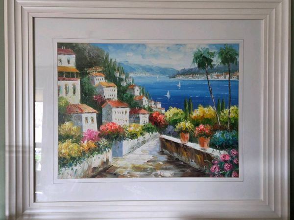
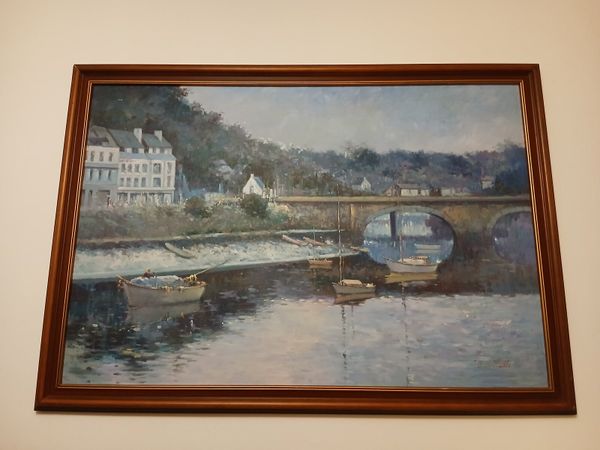
Large, Beautiful Pictures
- 2 days
- Kilkenny City, Kilkenny
- Spotlight5Private Seller5
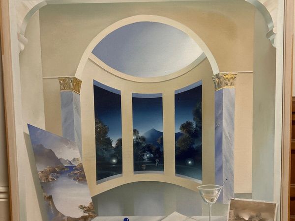
Claudio Viscardi panting
- 16 days
- Killarney, Kerry
- 1Private Seller4.5
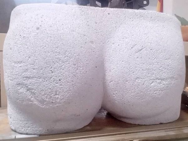
Composite Stone Sculpture
- 9 mins
- Ballysimon, Limerick
- 2Private Seller4.5
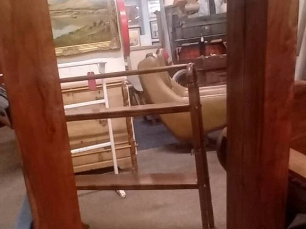
Large Hardwood Framed Wall Mirror
- 13 mins
- Ballysimon, Limerick
- 5Private Seller4.5
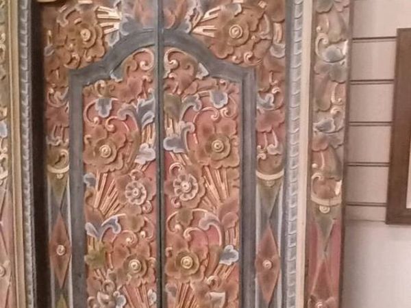
Original Carved Colourful Indian Door
- 14 mins
- Ballysimon, Limerick
- 2Private Seller4.5
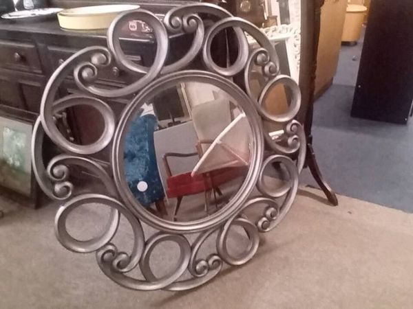
Large Modern Decorative Wall Mirror
- 16 mins
- Ballysimon, Limerick
- 3Private Seller4.5
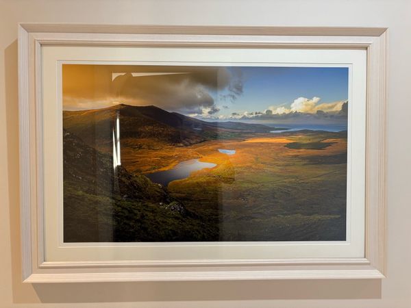
80X50cm large fine art photo print Conor’s Pass
- 53 mins
- Castletroy, Limerick
- 3Private SellerNo rating
Live Love Laugh 3 Storage/Hat Boxes
- 1 hour
- Carrickmacross, Monaghan
- 2Private Seller4.9
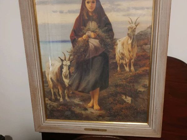
Connemara Girl Picture
- 2 hours
- Mullingar, Westmeath
- 1Private Seller5
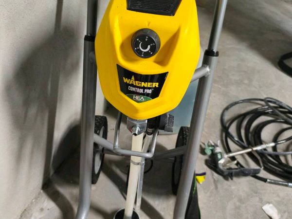
Wagner Paint sprayer
- 4 hours
- Galway City, Galway
- 1Private Seller4.8
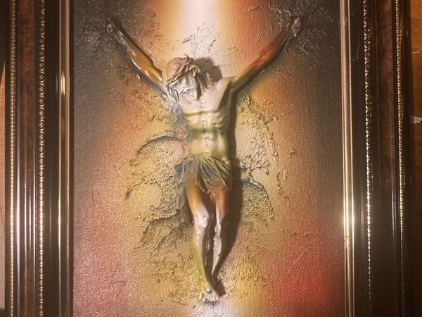
Mixed media Jesus framed free postage
- 9 hours
- Letterkenny, Donegal
- 7Private Seller4.5
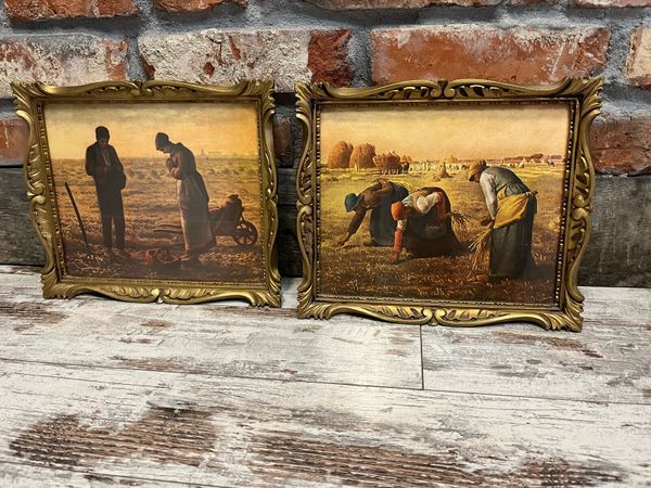
Vintage pictures
- 10 hours
- Nenagh, Tipperary
- 3Private SellerNo rating
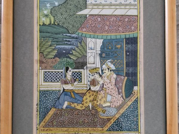
Mughal miniature painting with Urdu/Persian manusc
- 10 hours
- Crumlin, Dublin
- 10Private Seller4.8
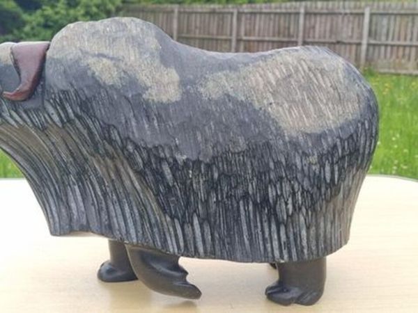
Joe Kavik - Large Arctic Musk Ox Sculpture
- 10 hours
- Ballybofey, Donegal
- 7Private Seller4.8
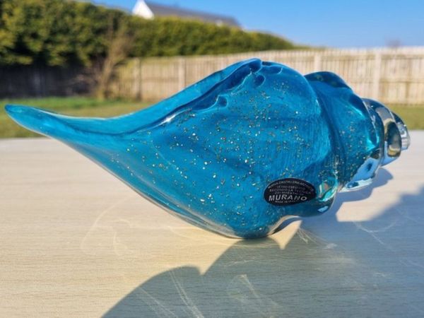
Big Murano glass shell
- 11 hours
- Ballybofey, Donegal
- 5Private Seller4.8
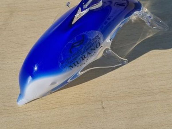
Murano art glass dolphin
- 11 hours
- Ballybofey, Donegal
- 7Private Seller4.8
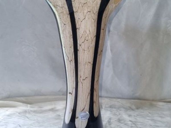
Large Murano Vase
- 11 hours
- Ballybofey, Donegal
- 10Private Seller4.8
Swedish Vase by Bengt Edenfalk for Skruf Sweden,
- 11 hours
- Ballybofey, Donegal
- 8Private Seller4.8
Murano vase
- 11 hours
- Ballybofey, Donegal
- 7Private Seller4.8
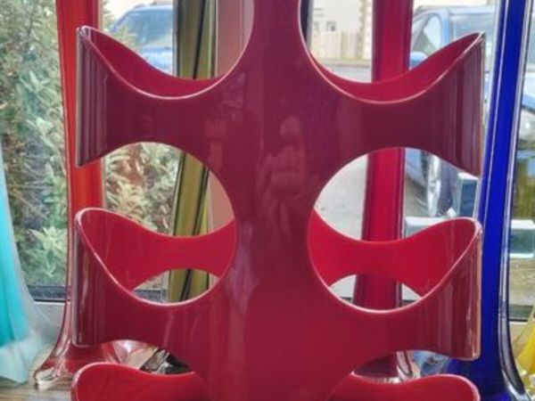
Umbra LCC 2009 Red Wine Rack Designed by Ran Lerne
- 11 hours
- Ballybofey, Donegal
- 3Private Seller5
Pictures
- 12 hours
- Castlebar, Mayo
- 3Private Seller4.7
Oil on Canvas by Korean artist F.Lotte.
- 12 hours
- Castlebar, Mayo
- 2Private Seller3.9
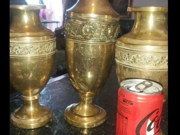
3 solid brass vases
- 14 hours
- Galway City, Galway
- 2Private Seller5
Metal Grid Noticeboard
- 14 hours
- Westmeath
- 2Trader4.5
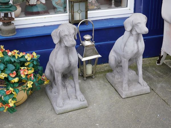
Pair of Concrete Dogs
- 15 hours
- Abbeyfeale, Limerick
- 4Private Seller3
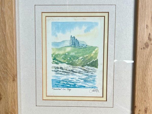
Philip Gray Framed Limited Watercolour Print
- 15 hours
- Clifden, Galway
- 1TraderNo rating
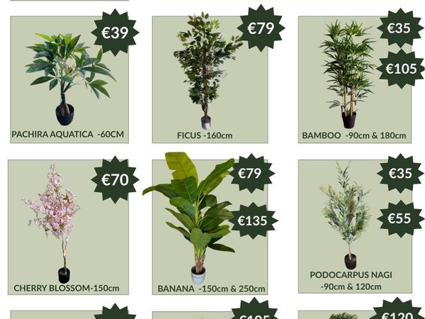
Artificial Plants
- 16 hours
- Ballymount, Dublin
- 10Private SellerNo rating
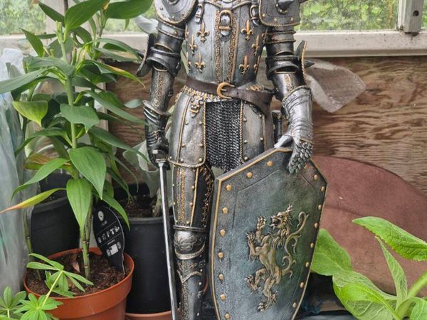
Large Medieval Knight Statue – 70cm
- 16 hours
- Castlebar, Mayo
- 1Private Seller4.5
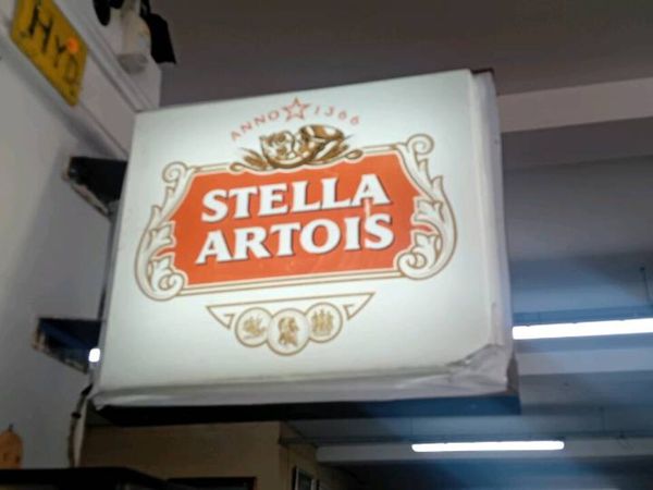
Stella Artois Light Up Sign
- 17 hours
- Ballysimon, Limerick
- 6Private Seller4.8
Murano glass swan plate
- 17 hours
- Ballybofey, Donegal
- 8Private Seller4.8
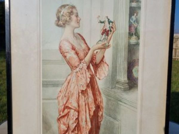
William Henry Margetson vintage watercolor
- 17 hours
- Ballybofey, Donegal
- 7Private Seller4.8
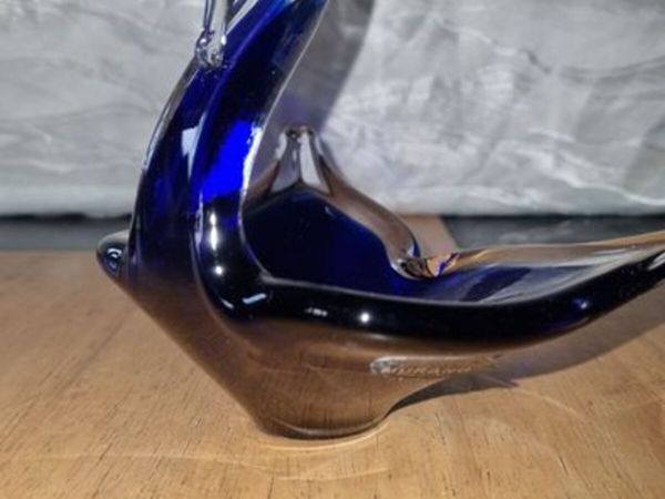
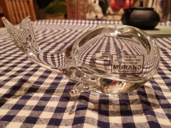
Murano glass whale
- 17 hours
- Ballybofey, Donegal


Showing 1 - 30 of 1,223