382 ads for Other Business in Ireland

Sorry, this ad is no longer available
View similar ads below
- Spotlight2Private Seller5
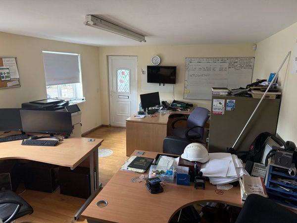
Office and Yard space
- 3 days
- Maynooth, Kildare
- Spotlight2Private SellerNo rating
Pallet Stores
- 3 days
- Raheen, Limerick
- Spotlight4Private SellerNo rating
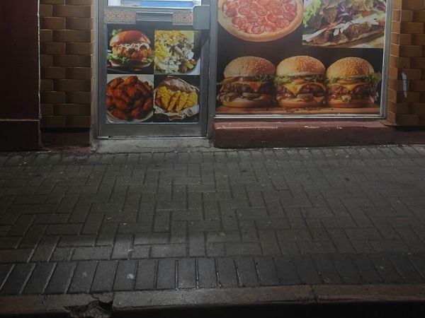
Take away shop
- 62 days
- Thurles, Tipperary
- 4TraderNo rating
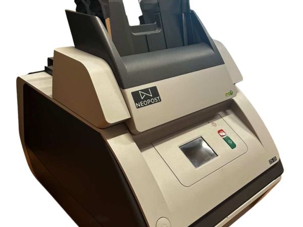
NeoPost DS-35 Franking Machine
- 21 mins
- Doughcloyne, Cork
 Nallys Sand and Gravel11Independent DealershipNo rating
CERAMIC KILN FURNITURE
- 1 hour
- Athlone, Westmeath
- 3Private SellerNo rating
Sink with seat
- 5 hours
- Kanturk, Cork
- 4Private Seller3
120 luxury wedding Candles bulk sale.
- 17 hours
- Oranmore, Galway
- 5Private SellerNo rating
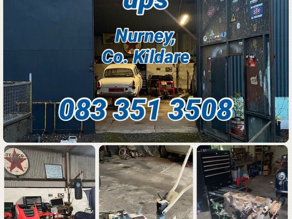
Small Engine Repair, Servicing & Tune Ups
- 22 hours
- Kildare Town, Kildare
- 1Private SellerNo rating
PREMIUM WEBSITE DESIGN ROSCOMMON
- 23 hours
- Aghamuck, Roscommon
- 1Private SellerNo rating
Full Website/Web Design €499.99
- 23 hours
- Leitrim
- 1Private SellerNo rating
WEBSITE DESIGN WESTMEATH
- 23 hours
- Archerstown, Westmeath
- 1Private SellerNo rating
WEBSITE DESIGN WATERFORD
- 23 hours
- Aglish, Waterford
- 1Private SellerNo rating
WEBSITE DESIGN SLIGO
- 23 hours
- Achonry, Sligo
- 2Private SellerNo rating
Specialising in Website/Web Design for Tradesmen
- 23 hours
- Dublin
- 1Private SellerNo rating
WEBSITE DESIGN GALWAY €499
- 23 hours
- Abbey, Galway
- 10Private SellerNo rating
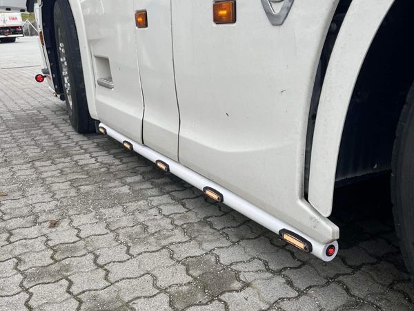
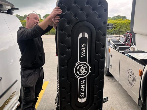
Truck accessories
- 1 day
- Cavan, Cavan
- 10Private SellerNo rating
All truck accessories
- 1 day
- Cavan, Cavan
- 10Private SellerNo rating
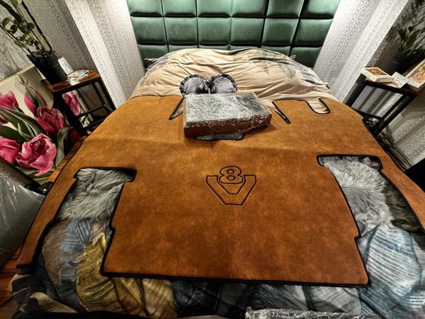
Truck accessories
- 1 day
- Cavan, Cavan
- 2Private SellerNo rating
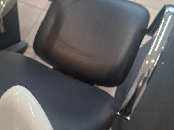
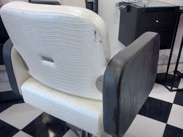
Hairdressing Chairs
- 1 day
- Sallins, Kildare
- Kilcurry Van Sales LTD.4Independent DealershipNo rating
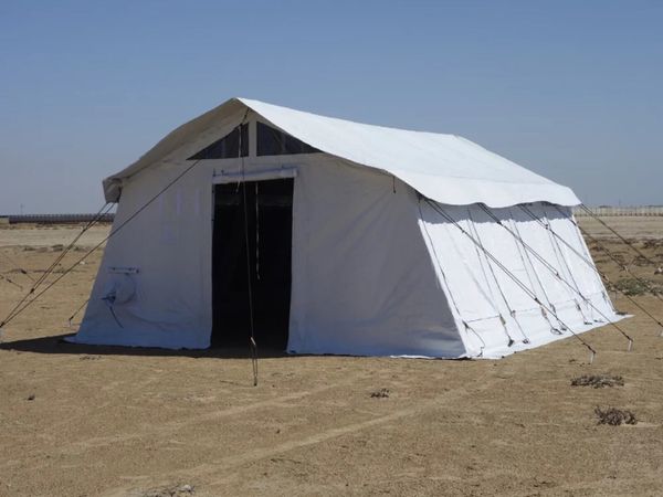
42m² & 72m² Multipurpose Commercial Tents
- 1 day
- Dundalk, Louth
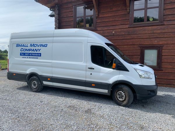
- 3Private Seller5
Moving company
- 1 day
- Limerick City, Limerick
- 5Trader5
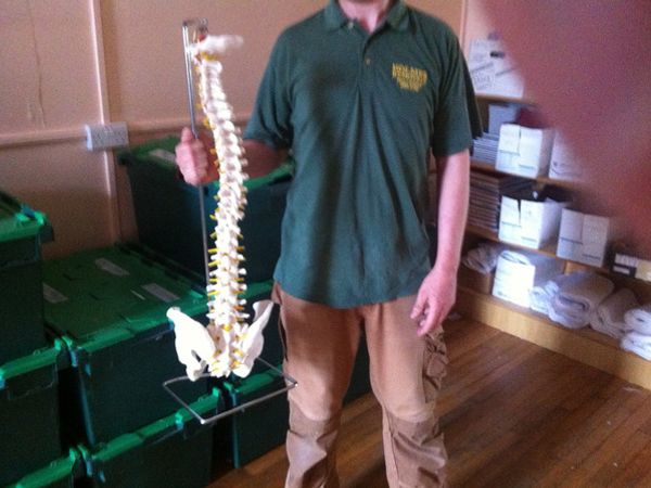
Another Back Saved ! HOLMES Removals & Storage
- 1 day
- Mullingar, Westmeath
- 1Private SellerNo rating
Taxi plate available for rent
- 1 day
- Lucan, Dublin
- 10Private SellerNo rating
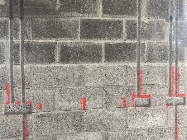
Wall Chasing & Core Drilling
- 1 day
- Dublin
- 4Private SellerNo rating
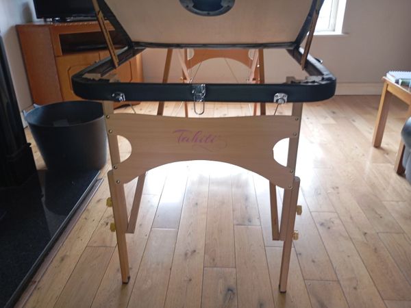
Therapy table
- 1 day
- Mullingar, Westmeath
- 9Private SellerNo rating
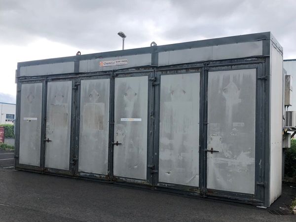
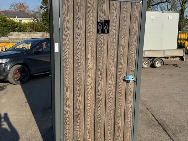
Single toilet block. Toilet shower block
- 1 day
- Dundalk, Louth
- 2Private Seller4.7
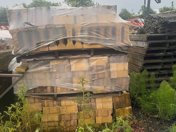
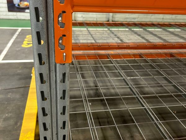
Wanted Stow beams
- 2 days
- Cork City, Cork
- 5Private SellerNo rating
Container/Office
- 2 days
- Omagh, Tyrone
- 7Private SellerNo rating
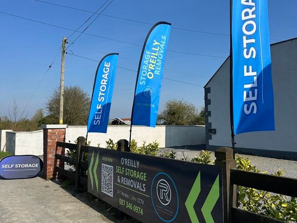
O’Reilly Self Storage and Removals Kells
- 2 days
- Kells, Meath
- 3Private SellerNo rating
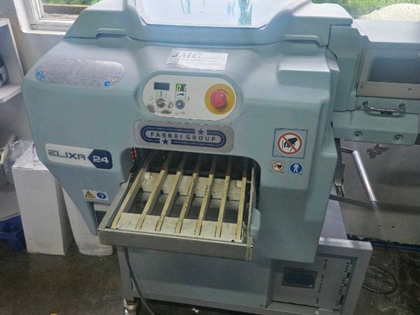
Elixa 24 2020 wrapping machine
- 2 days
- Carrickmacross, Monaghan
- MG Tractors8Independent DealershipNo rating
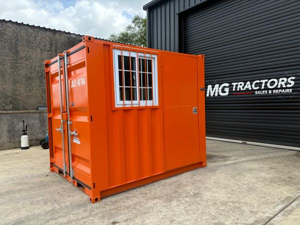
Brand new 8 foot mini container
- 2 days
- Ballybofey, Donegal
- 10Private SellerNo rating
Choice of 2 Large industrial fan units
- 2 days
- Tempo, Fermanagh
- 1Private SellerNo rating
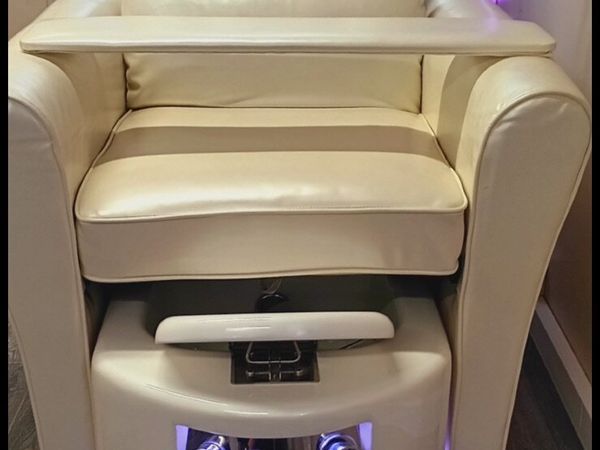
Pedicure chair
- 2 days
- Casla, Galway


Showing 1 - 30 of 382